
Route Identity
Senja Scenic Route
Norway — Senja
Overview Layer
Overview
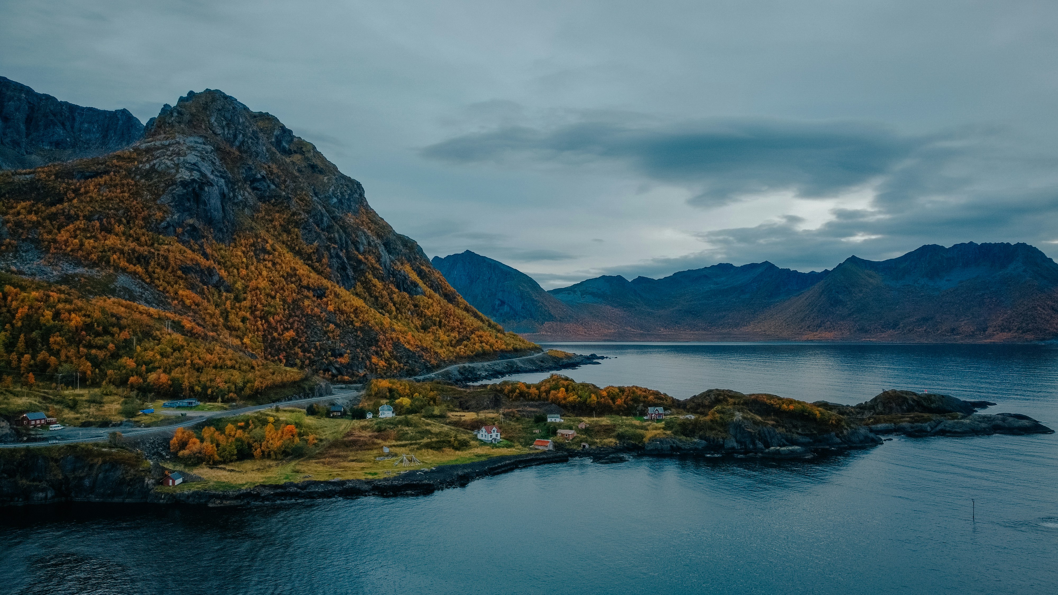
The Senja Scenic Route in northern Norway is one of the most dramatic Arctic island drives in the country. Located above the Arctic Circle, it winds through steep mountains that drop directly into the sea, quiet fishing villages, and exposed coastal viewpoints. Often called a hidden alternative to Lofoten, Senja offers equally striking scenery with fewer crowds and a more remote feeling.
Weather
Arctic maritime island climate with strong wind exposure, frequent precipitation, and extreme seasonal daylight variation.
Seasonal Driving Conditions
Cold coastal conditions with melting snow and variable road traction.
- melting snow on rural roads
- variable traction conditions
Mild Arctic coastal weather with stable roads and long daylight hours.
- stable driving conditions
- fully accessible routes
Increasing wind and precipitation with rapidly changing coastal conditions.
- frequent wind exposure
- wet asphalt conditions
Snow, ice, and strong winds with limited daylight and challenging driving conditions.
- snow-covered roads
- reduced visibility and grip
Road conditions
Coastal island roads with bridges and exposed sections highly affected by wind and winter snow.
Driving difficulty explained
High difficulty due to Arctic weather, wind exposure, and winter driving conditions.
Route Snapshot Layer
Route Snapshot
This is a scenic driving route in Senja, Norway.
The route features moderate driving conditions.
It is classified as Easy and is best suited for general road trip travelers.
Points of Interest
Scenic viewpoints
- Utsikten — 163 m from route (10.6 km from start)
- viewpoint Bergsbotn — 14 m from route (29.5 km from start)
- Tungeneset — 13 m from route (43.6 km from start)
Places to eat
- Skreien spiseri — 22 m from route (0.1 km from start)
Interesting stops
- Camp Mefjord — 26 m from route (56.1 km from start)
Actual Driving Track (GPX-data)
Download GPXAbout this route
The Senja Scenic Route is one of the most scenic driving experiences in Norway. Located in Senja, this route offers a unique combination of landscapes, road conditions and natural highlights.
Stretching over 111.8 km, this drive takes approximately 3 hours.
This route is especially popular among travelers looking for road trips.
Travel Experience
We didn’t really notice how quickly the landscape turned wild. One moment we were driving through small settlements, and the next the mountains were dropping straight into the sea.
At a viewpoint above the fjord there were only a few cars, and most people didn’t stay long because the wind was strong and cold. We stayed anyway just to take in the scale of it.
There were sections where the road clung tightly to the coastline, with sharp bends and sudden drops. We didn’t talk much during those parts, just focused on the road and the view alternating in front of us.
We stopped in a small fishing village where everything felt slightly weathered and quiet. It seemed like a place where people live with the sea more than travel through it.
By the end of the Senja Scenic Route, it felt like the island itself was the main experience. The road was just a thin line connecting cliffs, water, and mountains that dominated everything around it.
Best time to visit
The best time to explore the Senja Scenic Route is typically during spring and summer months, when weather conditions are stable and visibility is high. However, autumn offers fewer crowds and more dramatic scenery.
Travel tips
- Check wind forecasts before coastal sections
- Expect rapid weather changes
- Drive cautiously on exposed bridges
Why visit
- Scenic landscapes unique to Senja
- Popular road trip destination in Norway
- Great for photography
- Varied terrain and driving conditions
Driving Interpretation Layer
What this route means
How long is this route?
The route is approximately 111.8 km long, with an elevation gain of 0 m.
How difficult is the drive?
This route is classified as Easy, with a maximum gradient of 0.0%.
What kind of terrain does it have?
This is a relatively mild scenic route with steady and predictable driving conditions.
What makes this route unique?
The route combines elevation variation (0 m total gain) with changing landscapes shaped by natural geography and road conditions.
What type of driver is this route best suited for?
This route is suitable for most drivers, including casual travelers looking for a scenic and relaxed drive.
Discovery Layer
More routes in Norway
About Norway →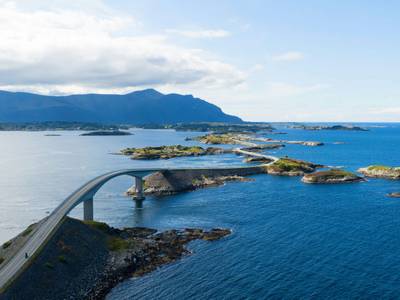
Atlantic Ocean Road Scenic Drive
Road across islands and bridges over the Atlantic Ocean
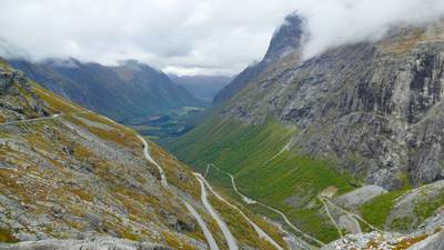
Trollstigen Mountain Pass Scenic Drive
Famous mountain road with steep hairpin bends and waterfalls
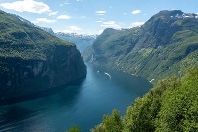
Norwegian Fjords Scenic Drive
Epic fjord landscapes with cliffs and waterfalls.
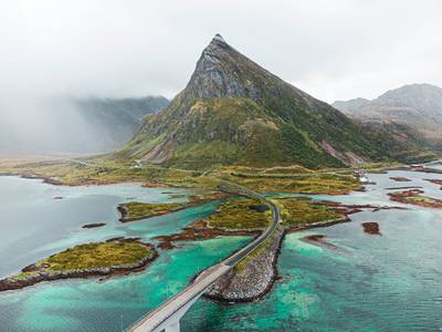
Lofoten Islands Scenic Coastal Drive
Arctic islands with dramatic peaks and fishing villages.
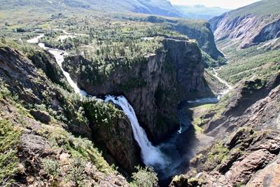
Hardanger Scenic Route
Fjord-side drive with waterfalls, orchards and dramatic Norwegian mountain scenery
More similar scenic routes
Lofoten Islands Scenic Coastal Drive
Arctic islands with dramatic peaks and fishing villages.
Norwegian Fjords Scenic Drive
Epic fjord landscapes with cliffs and waterfalls.
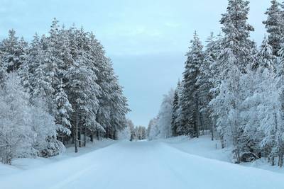
Lapland Arctic Scenic Winter Drive
Snowy forests and northern lights territory.
Hardanger Scenic Route
Fjord-side drive with waterfalls, orchards and dramatic Norwegian mountain scenery