
Route Identity
Lofoten Islands Scenic Coastal Drive
Norway — Lofoten
Overview Layer
Overview
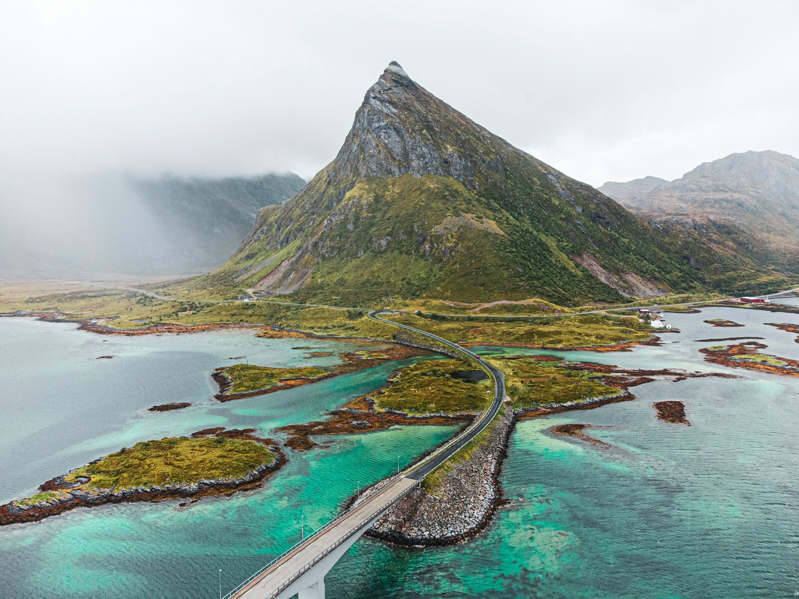
The Lofoten Islands Drive is one of Norway's most spectacular road trips, linking fishing villages, Arctic beaches, and jagged mountain peaks. The route showcases some of the most dramatic coastal scenery in Northern Europe while crossing a chain of connected islands.
Weather
Arctic maritime climate with strong winds, frequent precipitation, and large seasonal daylight variation.
Seasonal Driving Conditions
Cold coastal conditions with lingering snow and variable road surfaces.
- melting snow affects rural roads
- variable traction conditions
Mild Arctic coastal climate with midnight sun and most stable road access.
- fully accessible routes
- stable driving conditions
Strong winds and increasing precipitation with rapid weather shifts.
- high wind exposure
- frequent rain showers
Snow, ice, and storms with limited daylight and difficult driving conditions.
- snow-covered roads
- reduced visibility and traction
Road conditions
Coastal island roads with bridges, tunnels, and exposed sections affected by wind and snow.
Driving difficulty explained
High difficulty due to Arctic weather, wind exposure, and winter road conditions.
Route Snapshot Layer
Route Snapshot
This is a scenic driving route in Lofoten, Norway.
The route features moderate driving conditions.
It is classified as Hard and is best suited for general road trip travelers.
Points of Interest
Cafés and stops
- Jordbærpikene — 22 m from route (210.9 km from start)
Places to eat
- Sakura Sushi — 90 m from route (211.4 km from start)
- Vestfjord Hotel Restaurant — 154 m from route (211.4 km from start)
- Nordis Restaurant Svolvær — 186 m from route (211.4 km from start)
Actual Driving Track (GPX-data)
Download GPXGPS Data Layer
Measured Driving Route
This route is analyzed directly from GPX track data. It features a total distance of 211.7 km, with an elevation gain of 2150 m.
Route Structure
| Type | Distance (km) | Elevation Gain (m) | Avg Gradient (%) |
|---|---|---|---|
| flat | 198.01 km | 1659 m | 0% |
| climb | 6.93 km | 474 m | 6.4% |
| descent | 6.8 km | 17 m | -7.3% |
About this route
The Lofoten Islands Scenic Coastal Drive is one of the most scenic driving experiences in Norway. Located in Lofoten, this route offers a unique combination of landscapes, road conditions and natural highlights.
Stretching over 211.7 km, this drive takes approximately 5 hours.
This route is especially popular among travelers looking for road trips.
Travel Experience
We left a ferry a bit earlier than planned and immediately had to adjust to the bridges and short sections of road between islands. It didn’t feel like a continuous drive at first, more like a chain of short connections.
At one fishing village we stopped because there were already a few cars pulled in and everyone was walking around without much urgency. The smell of fish was stronger than expected and we didn’t stay long, just enough to stretch and look at the harbor.
There were stretches where the Lofoten Islands Drive felt like constant interruptions—bridge, tunnel, island, repeat. We didn’t talk much in those parts, just watched the peaks appearing and disappearing around every turn.
We stopped again near a beach where people were surprisingly dressed for cold water. It didn’t feel like a place you’d swim casually, but a few still did while others just stood there with hands in pockets.
By the end, it was hard to separate individual stops from the road itself. Everything felt tied together by water on both sides and mountains rising straight out of it, like the drive was just moving through a series of connected island fragments rather than one route.
Best time to visit
The best time to explore the Lofoten Islands Scenic Coastal Drive is typically during spring and summer months, when weather conditions are stable and visibility is high. However, autumn offers fewer crowds and more dramatic scenery.
Travel tips
- Check wind forecasts before coastal segments
- Drive cautiously on bridges during storms
- Expect snow clearance delays in winter
Why visit
- Scenic landscapes unique to Lofoten
- Popular road trip destination in Norway
- Great for photography
- Varied terrain and driving conditions
Driving Interpretation Layer
What this route means
How long is this route?
The route is approximately 211.7 km long, with an elevation gain of 2150 m.
How difficult is the drive?
This route is classified as Hard, with a maximum gradient of 8.7%.
What kind of terrain does it have?
This route features hilly terrain with several steep driving sections.
What makes this route unique?
The route combines elevation variation (2150 m total gain) with changing landscapes shaped by natural geography and road conditions.
What type of driver is this route best suited for?
This route is suitable for confident drivers who are comfortable with occasional steep sections and mountain terrain.
Discovery Layer
More routes in Norway
About Norway →
Atlantic Ocean Road Scenic Drive
Road across islands and bridges over the Atlantic Ocean
Trollstigen Mountain Pass Scenic Drive
Famous mountain road with steep hairpin bends and waterfalls
Norwegian Fjords Scenic Drive
Epic fjord landscapes with cliffs and waterfalls.
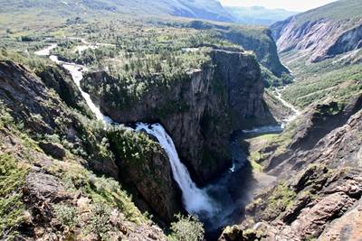
Hardanger Scenic Route
Fjord-side drive with waterfalls, orchards and dramatic Norwegian mountain scenery
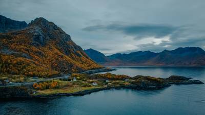
Senja Scenic Route
Wild Arctic island road with sharp peaks, fjords and dramatic coastal viewpoints
More similar scenic routes
Senja Scenic Route
Wild Arctic island road with sharp peaks, fjords and dramatic coastal viewpoints
Norwegian Fjords Scenic Drive
Epic fjord landscapes with cliffs and waterfalls.
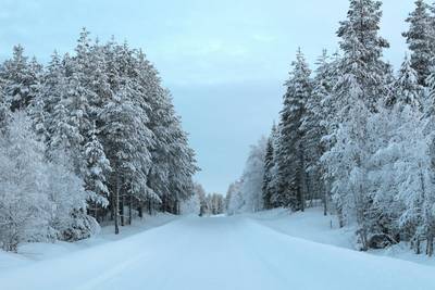
Lapland Arctic Scenic Winter Drive
Snowy forests and northern lights territory.
Hardanger Scenic Route
Fjord-side drive with waterfalls, orchards and dramatic Norwegian mountain scenery