
Route Identity
Colombia Medellín, Guatapé, Santa Fe de Antioquia & Jardín Epic Scenic Mountain & Coffee Region Drive Experience
Colombia — Antioquia / Coffee Region
Overview Layer
Overview
This Colombia road trip around Medellín connects some of the most diverse landscapes in Antioquia and the Colombian Coffee Region. The route includes the colorful town of Guatapé and the iconic Piedra del Peñol, the colonial streets of Santa Fe de Antioquia, the vibrant city of Medellín, and the mountain town of Jardín. It combines tropical valleys, steep Andean climbs, and culturally rich towns into one continuous scenic driving experience.
Weather
Tropical highland and valley climate with bimodal rainfall patterns and stable temperatures across elevation zones.
Seasonal Driving Conditions
Tropical conditions with periodic rainfall and stable temperatures.
- moderate rainfall
- stable valley temperatures
Relatively drier periods depending on regional monsoon cycle variations.
- relatively drier intervals
- good road accessibility
Increased rainfall associated with tropical convergence zone activity.
- heavy rainfall periods
- landslide risk in mountain zones
Secondary dry season with more stable road conditions.
- secondary dry season
- improved road stability
Road conditions
Mountain and valley roads with paved sections and variable quality in rural coffee regions; landslide risk during heavy rain.
Driving difficulty explained
Moderate difficulty due to mountainous terrain and seasonal rainfall impact.
Route Snapshot Layer
Route Snapshot
This is a scenic driving route in Antioquia / Coffee Region, Colombia.
The route features moderate driving conditions.
It is classified as Extreme and is best suited for general road trip travelers.
Points of Interest
Scenic viewpoints
- Mirador Las Palmas — 71 m from route (5.5 km from start)
Places to eat
- Sicilia in Bocca — 14 m from route (35.6 km from start)
- Sushi Train — 27 m from route (83.1 km from start)
- La Fénix — 42 m from route (198.4 km from start)
Cafés and stops
- Kennedy — 11 m from route (16.0 km from start)
Attractions along the route
- Escultura Esfera Pública — 220 m from route (16.0 km from start)
- Cápsula del tiempo Aurora — 173 m from route (59.7 km from start)
- Calle de los recuerdos — 172 m from route (159.0 km from start)
Interesting stops
- Parque Arví — 24 m from route (263.9 km from start)
Actual Driving Track (GPX-data)
Download GPXGPS Data Layer
Measured Driving Route
This route is analyzed directly from GPX track data. It features a total distance of 620.1 km, with an elevation gain of 10234 m.
Route Structure
| Type | Distance (km) | Elevation Gain (m) | Avg Gradient (%) |
|---|---|---|---|
| flat | 358.86 km | 3045 m | 0.1% |
| descent | 141.56 km | 258 m | -5.7% |
| climb | 119.67 km | 6931 m | 5.6% |
About this route
The Colombia Medellín, Guatapé, Santa Fe de Antioquia & Jardín Epic Scenic Mountain & Coffee Region Drive Experience is one of the most scenic driving experiences in Colombia. Located in Antioquia / Coffee Region, this route offers a unique combination of landscapes, road conditions and natural highlights.
Stretching over 620.1 km, this drive takes approximately 13 hours.
This route is especially popular among travelers looking for road trips.
Travel Experience
Leaving Medellín, the city quickly disappears into steep green mountains, and the road immediately starts climbing and dropping through tightly packed valleys.
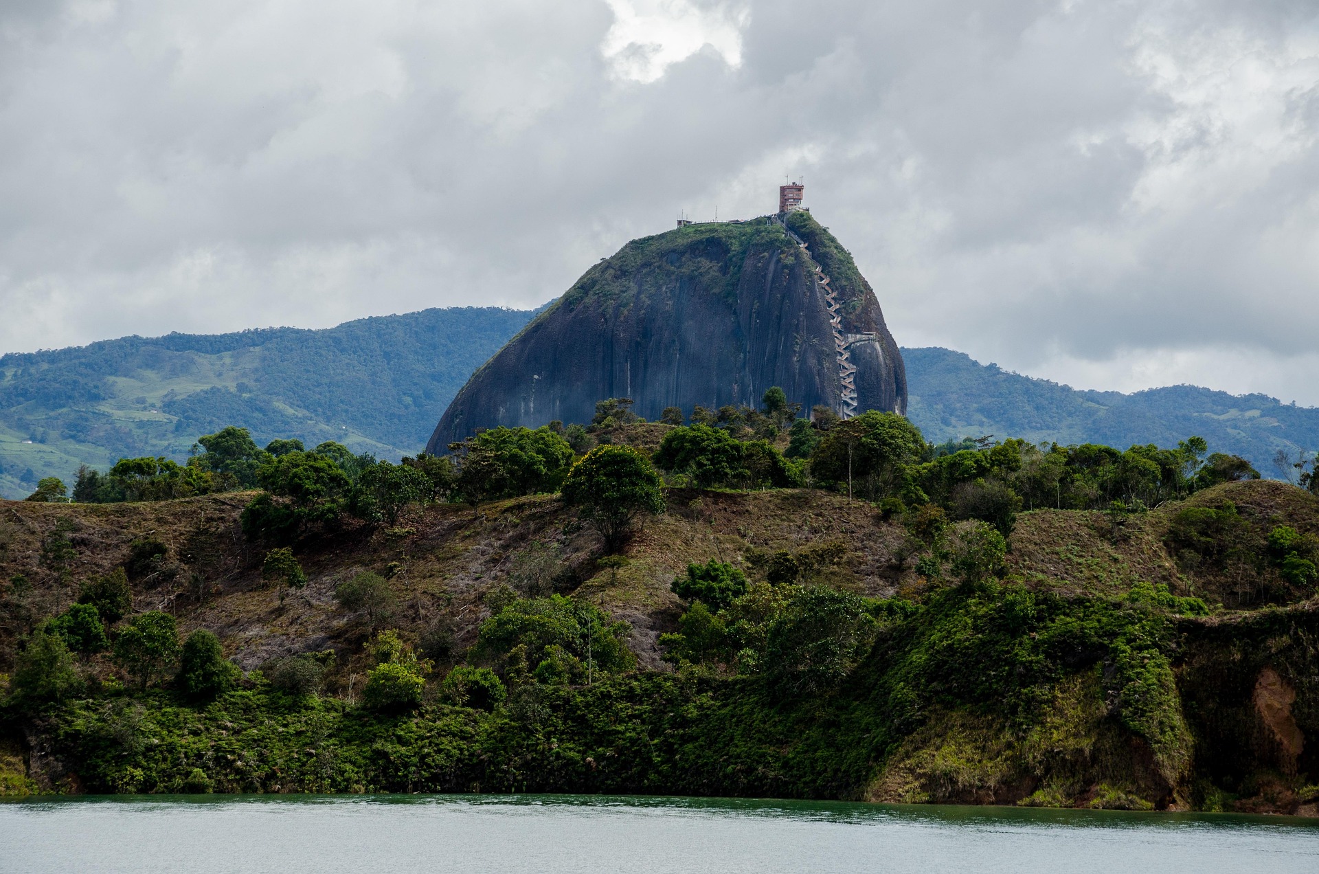
At Guatapé, the landscape feels completely different — bright colors, water reservoirs, and the massive rock rising above everything like a landmark from another world.
There are long sections between towns where the road winds through humid mountain terrain, with constant changes in elevation and dense vegetation on both sides.
Santa Fe de Antioquia feels like a pause in time, with warm air, stone streets, and a slower rhythm compared to the mountain roads leading in and out of it.
By the time we reached Jardín, the route had fully shifted into coffee-region landscapes, with misty hills, plantations, and a calmness that contrasts sharply with the earlier climbs.
Best time to visit
The best time to explore the Colombia Medellín, Guatapé, Santa Fe de Antioquia & Jardín Epic Scenic Mountain & Coffee Region Drive Experience is typically during spring and summer months, when weather conditions are stable and visibility is high. However, autumn offers fewer crowds and more dramatic scenery.
Travel tips
- Monitor landslide warnings in rainy seasons
- Expect variable road quality in rural areas
- Plan extra travel time in mountain regions
Why visit
- Scenic landscapes unique to Antioquia / Coffee Region
- Popular road trip destination in Colombia
- Great for photography
- Varied terrain and driving conditions
Driving Interpretation Layer
What this route means
How long is this route?
The route is approximately 620.1 km long, with an elevation gain of 10234 m.
How difficult is the drive?
This route is classified as Extreme, with a maximum gradient of 18.4%.
What kind of terrain does it have?
This is a high alpine mountain route with significant elevation changes and exposed terrain.
What makes this route unique?
The route combines elevation variation (10234 m total gain) with changing landscapes shaped by natural geography and road conditions.
What type of driver is this route best suited for?
This route is best suited for experienced drivers comfortable with steep gradients, narrow mountain roads, and changing weather conditions.
Discovery Layer
More routes in Colombia
About Colombia →
More similar scenic routes

Route des Grandes Alpes Alpine Scenic Road Trip
High alpine route crossing multiple mountain passes.

Icefields Parkway Rocky Mountain Scenic Drive
One of the most scenic drives in the Canadian Rockies.

Blue Ridge Parkway Scenic Mountain Drive
Scenic mountain drive through the Appalachian Highlands.
Drakensberg Sani Pass Scenic Scenic Mountain Drive (Sani Pass → Lesotho entry)
Mountain drive along dramatic escarpments.
Great Alpine Scenic Mountain Drive
Mountain road crossing Australian Alps.
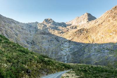
Milford Road Alpine Scenic Drive
Road to Milford Sound with dramatic alpine scenery.