
Route Identity
Patagonia Scenic Loop Road
Argentina — Patagonia
Overview Layer
Overview
Embark on the vast Patagonia Loop Road in Argentina. This challenging and long road trip traverses remote Patagonian landscapes, offering epic views of glaciers, vast nature, and the wild southern reaches of the continent.
Weather
Subpolar steppe and Andean mountain climate with strong persistent winds, low precipitation, and sharp seasonal temperature variation.
Seasonal Driving Conditions
Cold and windy conditions with partial snowmelt and improving access in lower elevation routes.
- snowmelt improves low-altitude access
- high wind exposure across plains
Mild to warm southern hemisphere conditions with strongest road accessibility and reduced snow coverage.
- best overall road access
- reduced snow in mountain passes
Cooling temperatures with increasing wind strength and early snow risk in higher terrain.
- increasing wind intensity
- cooling mountain conditions
Cold conditions with snow, ice, and limited accessibility in remote sections.
- snow-covered remote routes
- limited service availability
Road conditions
Long-distance paved and gravel roads with exposed steppe sections, remote services, and seasonal snow impacts in southern Andes.
Driving difficulty explained
High difficulty due to remoteness, wind exposure, and seasonal snow in southern sections.
Route Snapshot Layer
Route Snapshot
This is a scenic driving route in Patagonia, Argentina.
The route features moderate driving conditions.
It is classified as Extreme and is best suited for general road trip travelers.
Points of Interest
Scenic viewpoints
- Mirador — 9 m from route (664.0 km from start)
- Mirador La Península — 101 m from route (944.9 km from start)
- Mirador Río Frías — 12 m from route (945.1 km from start)
- Río Frías — 66 m from route (945.3 km from start)
- Mirador Sendero Turbera — 18 m from route (947.2 km from start)
Attractions along the route
- Cartel de Trevelin — 16 m from route (609.9 km from start)
- Parque Nacional Los Alerces — 7 m from route (618.6 km from start)
- Sendero Laguna escondida — 11 m from route (657.7 km from start)
- Huella Andina — 3 m from route (659.8 km from start)
- Sendero Río Rivadavia — 18 m from route (670.1 km from start)
Actual Driving Track (GPX-data)
Download GPXGPS Data Layer
Measured Driving Route
This route is analyzed directly from GPX track data. It features a total distance of 1149.9 km, with an elevation gain of 21042 m.
Route Structure
| Type | Distance (km) | Elevation Gain (m) | Avg Gradient (%) |
|---|---|---|---|
| flat | 905.9 km | 14175 m | 0% |
| climb | 121.07 km | 5601 m | 3.6% |
| descent | 122.97 km | 1267 m | -3.7% |
About this route
The Patagonia Scenic Loop Road is one of the most scenic driving experiences in Argentina. Located in Patagonia, this route offers a unique combination of landscapes, road conditions and natural highlights.
Stretching over 1149.9 km, this drive takes approximately 23 hours.
This route is especially popular among travelers looking for road trips.
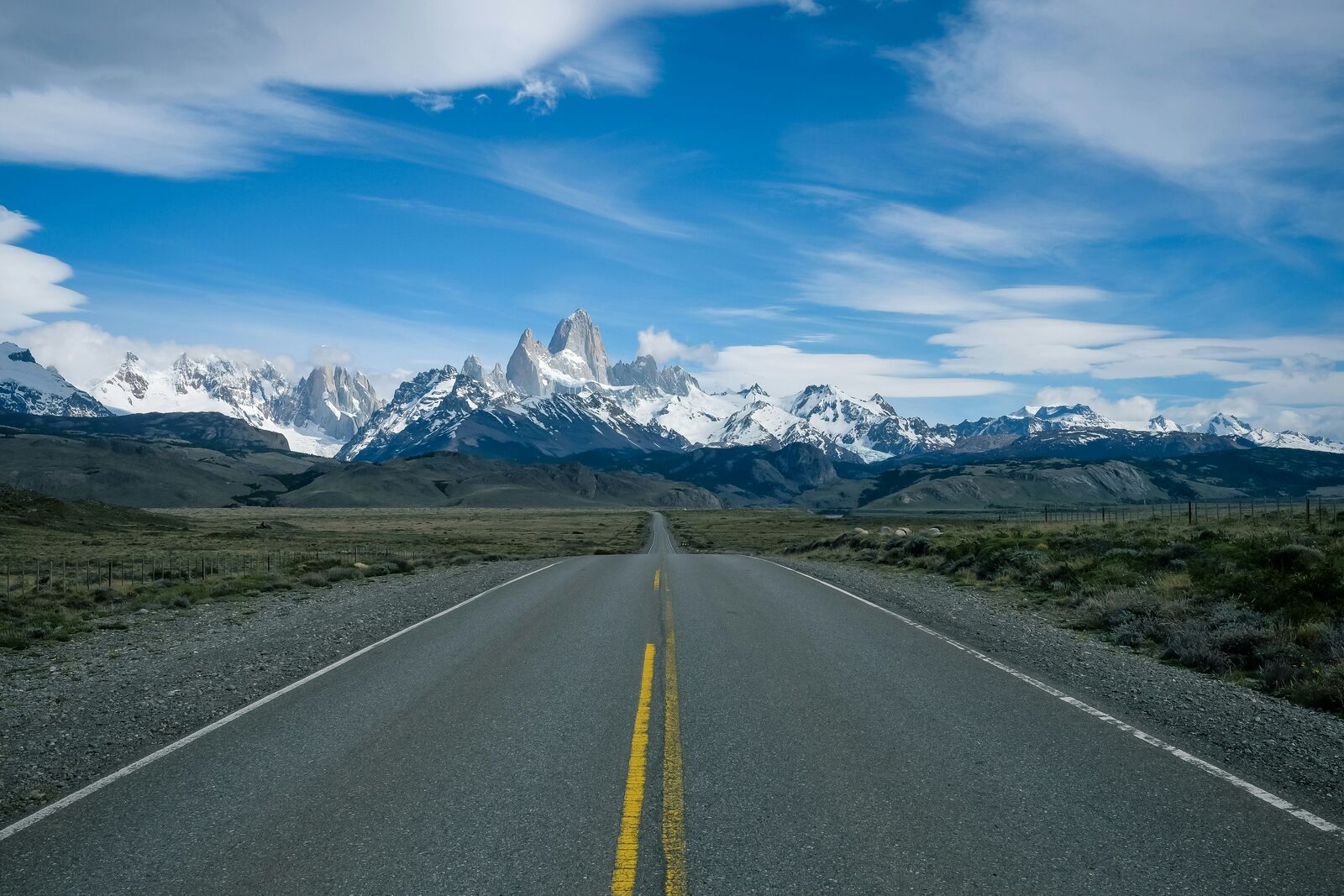
Travel Experience
We started the day thinking we’d cover more distance, but the wind picked up early and slowed everything down. The car was fine, it was just tiring to keep dealing with the straight empty sections for so long.
At one stop there was a viewpoint with a few other travelers, all of us kind of leaning into the wind without staying too long. The glacier in the distance looked smaller than expected from that angle, which felt a bit strange.
There were long parts of the Patagonia Loop Road where nothing really changed. Just fences, open land, and occasional lakes that appeared and disappeared again behind small hills. We mostly listened to music and didn’t talk much.
We stopped in a small place for food that felt like it existed mainly because the road exists. Service was slow, but nobody was in a rush anyway, so it fit the mood.
By the time we were closer to the end, the fatigue wasn’t from anything difficult, just the scale of everything. It’s one of those drives where you keep thinking there should be more to comment on, but it’s mostly just distance and wind and then more distance.
Best time to visit
The best time to explore the Patagonia Scenic Loop Road is typically during spring and summer months, when weather conditions are stable and visibility is high. However, autumn offers fewer crowds and more dramatic scenery.
Travel tips
- Plan fuel stops in advance due to long distances
- Expect strong crosswinds on open steppe roads
- Check seasonal pass accessibility before travel
Why visit
- Scenic landscapes unique to Patagonia
- Popular road trip destination in Argentina
- Great for photography
- Varied terrain and driving conditions
Driving Interpretation Layer
What this route means
How long is this route?
The route is approximately 1149.9 km long, with an elevation gain of 21042 m.
How difficult is the drive?
This route is classified as Extreme, with a maximum gradient of 8.9%.
What kind of terrain does it have?
This route features hilly terrain with several steep driving sections.
What makes this route unique?
The route combines elevation variation (21042 m total gain) with changing landscapes shaped by natural geography and road conditions.
What type of driver is this route best suited for?
This route is suitable for confident drivers who are comfortable with occasional steep sections and mountain terrain.
Discovery Layer
More routes in Argentina
About Argentina →More similar scenic routes
Patagonia Lakes Scenic Route Drive
Remote Patagonian road with lakes and glaciers.
Carretera Austral Patagonian Scenic Highway
Remote Patagonian road through forests, fjords and glaciers.
Norwegian Fjords Scenic Drive
Epic fjord landscapes with cliffs and waterfalls.
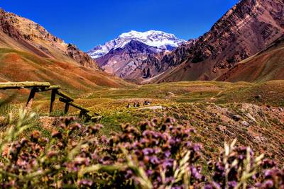
Andes Scenic Mountain Drive
Wine region drive with Andes mountain backdrop.
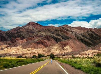
Ruta 40 Epic Long Highway Road Trip
Legendary long highway crossing entire Argentina.
Extended Garden Route Scenic Drive
Extended coastal drive with beaches and forests.