
Route Identity
Loire Valley Castles Scenic Drive
France — Loire Valley
Overview Layer
Overview
Follow the Loire Valley Castles Route through one of France’s most famous cultural landscapes. The drive combines elegant châteaux, vineyards, and peaceful riverside scenery.
Weather
Temperate river valley climate with moderate rainfall, mild summers, and cool winters influenced by Atlantic systems.
Seasonal Driving Conditions
Mild temperatures with moderate rainfall and strong river flow along the Loire basin.
- river level increase from rainfall
- moderate road moisture
Warm and generally dry conditions with stable rural driving environments.
- dry and stable driving conditions
- good visibility across valleys
Cooling temperatures with occasional rainfall and morning fog along river valleys.
- fog in river valleys
- wet leaf accumulation on rural roads
Cold conditions with occasional frost and reduced daylight hours.
- frost in early mornings
- reduced daylight driving time
Road conditions
Well-paved rural and regional roads with gentle terrain and occasional fog in river valleys.
Driving difficulty explained
Low difficulty due to gentle terrain and well-maintained road network.
Route Snapshot Layer
Route Snapshot
This is a scenic driving route in Loire Valley, France.
The route features moderate driving conditions.
It is classified as Moderate and is best suited for general road trip travelers.
Points of Interest
Attractions along the route
- Escalier Denis Papin — 37 m from route (0.0 km from start)
- Chantier Caillard — 80 m from route (174.9 km from start)
Actual Driving Track (GPX-data)
Download GPXGPS Data Layer
Measured Driving Route
This route is analyzed directly from GPX track data. It features a total distance of 193.7 km, with an elevation gain of 1684 m.
Route Structure
| Type | Distance (km) | Elevation Gain (m) | Avg Gradient (%) |
|---|---|---|---|
| flat | 187.6 km | 1604 m | 0% |
| descent | 4.09 km | 23 m | -2.2% |
| climb | 2.02 km | 57 m | 2.3% |
About this route
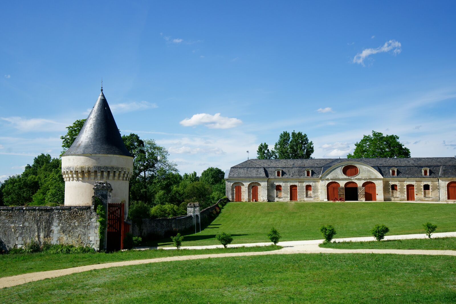
The Loire Valley Castles Scenic Drive is one of the most scenic driving experiences in France. Located in Loire Valley, this route offers a unique combination of landscapes, road conditions and natural highlights.
Stretching over 193.7 km, this drive takes approximately 4 hours.
This route is especially popular among travelers looking for road trips.
Travel Experience
We expected the castles to be spread out, but they seemed to appear constantly along the route. Every time we got back into the car another sign pointed toward a different historic estate.
The roads themselves were straightforward and easy to follow. Most of the driving passed through farmland, vineyards, and small towns clustered around the river.
Some castles were crowded while others felt surprisingly quiet. We ended up enjoying the less famous stops because there was more time to explore without navigating through large groups.
Lunch beside the Loire turned into one of the highlights of the day. Watching cyclists and boats pass by was a nice change from constantly moving between attractions.
The Loire Valley Castles Route is less about dramatic scenery and more about variety. There is always something interesting nearby, whether it's a château, a village, or another stretch of countryside.
Best time to visit
The best time to explore the Loire Valley Castles Scenic Drive is typically during spring and summer months, when weather conditions are stable and visibility is high. However, autumn offers fewer crowds and more dramatic scenery.
Travel tips
- Watch for fog in river valleys
- Drive cautiously on rural roads in autumn
- Plan daylight driving in winter months
Why visit
- Scenic landscapes unique to Loire Valley
- Popular road trip destination in France
- Great for photography
- Varied terrain and driving conditions
Driving Interpretation Layer
What this route means
How long is this route?
The route is approximately 193.7 km long, with an elevation gain of 1684 m.
How difficult is the drive?
This route is classified as Moderate, with a maximum gradient of 2.3%.
What kind of terrain does it have?
This is a relatively mild scenic route with steady and predictable driving conditions.
What makes this route unique?
The route combines elevation variation (1684 m total gain) with changing landscapes shaped by natural geography and road conditions.
What type of driver is this route best suited for?
This route is suitable for most drivers, including casual travelers looking for a scenic and relaxed drive.
Discovery Layer
More routes in France
About France →
Route des Grandes Alpes Alpine Scenic Road Trip
High alpine route crossing multiple mountain passes.

Provence Lavender Scenic Drive
Lavender fields and charming French villages.
Corsica Mountain Scenic Loop Drive
Dramatic mountain roads across Corsica.
Alsace Wine Route Scenic Drive
Vineyards, half-timbered villages and rolling hills.
Verdon Gorge Canyon Scenic Drive
Dramatic canyon roads above turquoise waters.
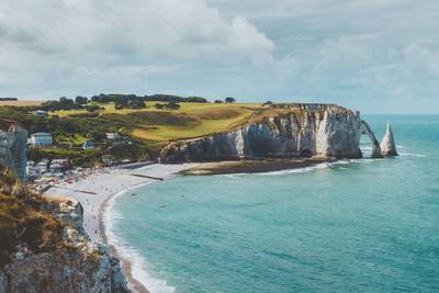
French Riviera Coastal Scenic Drive
Mediterranean coastline, beaches and seaside towns.
More similar scenic routes
Route des Grandes Alpes Alpine Scenic Road Trip
High alpine route crossing multiple mountain passes.
Provence Lavender Scenic Drive
Lavender fields and charming French villages.
Corsica Mountain Scenic Loop Drive
Dramatic mountain roads across Corsica.
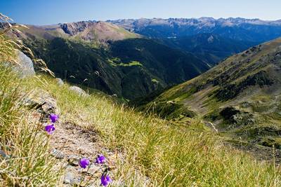
Pyrenees Alpine Scenic Drive
High mountain drive between Spain and France.
Alsace Wine Route Scenic Drive
Vineyards, half-timbered villages and rolling hills.
Verdon Gorge Canyon Scenic Drive
Dramatic canyon roads above turquoise waters.