
Route Identity
Jura Lakes Scenic Mountain Drive
France — Jura
Overview Layer
Overview
Explore the scenic Jura Lakes Route, a peaceful journey through eastern France. The drive connects crystal-clear lakes, forested hills, and charming rural villages far from the country's busiest tourist regions.
Weather
Temperate mountainous lake region climate with cold winters, mild summers, and frequent fog near water bodies.
Seasonal Driving Conditions
Cool conditions with melting snow in higher elevations and increasing rainfall.
- snowmelt increases water levels
- wet road surfaces near lakes
Mild and stable conditions with generally dry roads around lake regions.
- stable dry driving conditions
- clear visibility in lake regions
Cooling temperatures with fog formation around lakes and valleys.
- frequent lake fog
- wet leaves affecting traction
Cold conditions with snow accumulation in upland and forested areas.
- snow-covered rural roads
- icy conditions in shaded areas
Road conditions
Paved rural and mountain roads with elevation changes, forest sections, and wet surfaces near lakes.
Driving difficulty explained
Moderate difficulty due to elevation changes and seasonal fog around lakes.
Route Snapshot Layer
Route Snapshot
This is a scenic driving route in Jura, France.
The route features moderate driving conditions.
It is classified as Hard and is best suited for general road trip travelers.
Points of Interest
Scenic viewpoints
- Bélvédère des Trois Lacs — 51 m from route (72.5 km from start)
- Vallée du Drouvenant — 9 m from route (89.8 km from start)
- Belvédère Grand Lac de Clairvaux-les-Lacs — 48 m from route (95.5 km from start)
- Lac de Vouglans — 64 m from route (155.4 km from start)
Places to eat
- Le Bistrot de la Fontaine — 20 m from route (93.6 km from start)
Actual Driving Track (GPX-data)
Download GPXGPS Data Layer
Measured Driving Route
This route is analyzed directly from GPX track data. It features a total distance of 171.7 km, with an elevation gain of 2472 m.
Route Structure
| Type | Distance (km) | Elevation Gain (m) | Avg Gradient (%) |
|---|---|---|---|
| flat | 120.64 km | 1332 m | 0% |
| climb | 29.12 km | 1078 m | 3.5% |
| descent | 21.98 km | 62 m | -4.3% |
About this route
The Jura Lakes Scenic Mountain Drive is one of the most scenic driving experiences in France. Located in Jura, this route offers a unique combination of landscapes, road conditions and natural highlights.
Stretching over 171.7 km, this drive takes approximately 4 hours.
This route is especially popular among travelers looking for road trips.
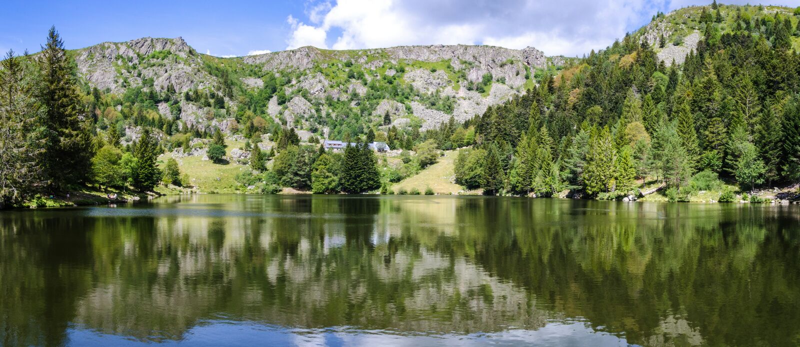
Travel Experience
The route felt surprisingly quiet from the start. We drove for long stretches without seeing much traffic, which made the whole trip feel slower and more relaxed than most scenic drives.
The lakes appeared one after another, each looking slightly different from the last. Some were surrounded by steep wooded slopes while others were bordered by small villages and open fields.
We stopped at a picnic area that looked fairly ordinary on the map but ended up staying there for almost an hour. The water was completely still and there wasn't much reason to rush anywhere.
The roads were easy to drive and never felt crowded. Even in the middle of summer it seemed like most visitors were concentrated around a few popular spots rather than spread across the entire region.
By the end of the day the Jura Lakes Route felt more like a countryside escape than a major tourist attraction. It's the kind of drive where the calm atmosphere becomes the main thing you remember.
Best time to visit
The best time to explore the Jura Lakes Scenic Mountain Drive is typically during spring and summer months, when weather conditions are stable and visibility is high. However, autumn offers fewer crowds and more dramatic scenery.
Travel tips
- Expect fog near lakes in autumn mornings
- Check winter road conditions before travel
- Drive cautiously on wet forest sections
Why visit
- Scenic landscapes unique to Jura
- Popular road trip destination in France
- Great for photography
- Varied terrain and driving conditions
Driving Interpretation Layer
What this route means
How long is this route?
The route is approximately 171.7 km long, with an elevation gain of 2472 m.
How difficult is the drive?
This route is classified as Hard, with a maximum gradient of 5.4%.
What kind of terrain does it have?
This is a relatively mild scenic route with steady and predictable driving conditions.
What makes this route unique?
The route combines elevation variation (2472 m total gain) with changing landscapes shaped by natural geography and road conditions.
What type of driver is this route best suited for?
This route is suitable for most drivers, including casual travelers looking for a scenic and relaxed drive.
Discovery Layer
More routes in France
About France →
Route des Grandes Alpes Alpine Scenic Road Trip
High alpine route crossing multiple mountain passes.
Provence Lavender Scenic Drive
Lavender fields and charming French villages.
Corsica Mountain Scenic Loop Drive
Dramatic mountain roads across Corsica.
Alsace Wine Route Scenic Drive
Vineyards, half-timbered villages and rolling hills.
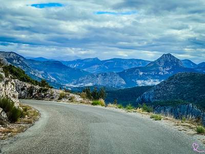
Verdon Gorge Canyon Scenic Drive
Dramatic canyon roads above turquoise waters.
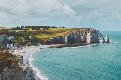
French Riviera Coastal Scenic Drive
Mediterranean coastline, beaches and seaside towns.
More similar scenic routes
Route des Grandes Alpes Alpine Scenic Road Trip
High alpine route crossing multiple mountain passes.

Icefields Parkway Rocky Mountain Scenic Drive
One of the most scenic drives in the Canadian Rockies.
Provence Lavender Scenic Drive
Lavender fields and charming French villages.
Corsica Mountain Scenic Loop Drive
Dramatic mountain roads across Corsica.
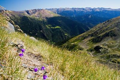
Pyrenees Alpine Scenic Drive
High mountain drive between Spain and France.
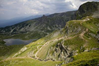
Rila Lakes Scenic Mountain Loop Drive
Mountain lakes and alpine landscapes.