
Route Identity
Auvergne Volcano Scenic Mountain Drive
France — Auvergne
Overview Layer
Overview
Drive through the remarkable volcanic landscapes of Auvergne. This route crosses extinct volcanoes, high plateaus, and green mountain scenery unlike anywhere else in France.
Weather
Mountain volcanic region climate with moderate rainfall, cool summers, and significant winter snowfall at elevation.
Seasonal Driving Conditions
Cool temperatures with melting snow at higher volcanic peaks and moderate rainfall.
- snowmelt runoff in mountain areas
- variable traction conditions
Mild and stable conditions with generally dry mountain roads.
- stable dry roads
- clear visibility in upland areas
Cooling temperatures with increasing rainfall and fog in valleys.
- fog in valleys
- wet leaf accumulation on roads
Cold conditions with snow on volcanic highlands and reduced accessibility in higher elevations.
- snow-covered highland routes
- reduced traction in shaded areas
Road conditions
Winding mountain roads with elevation changes, occasional fog, and seasonal snow impact at higher altitudes.
Driving difficulty explained
Moderate difficulty due to elevation changes and seasonal fog in volcanic terrain.
Route Snapshot Layer
Route Snapshot
This is a scenic driving route in Auvergne, France.
The route features moderate driving conditions.
It is classified as Moderate and is best suited for general road trip travelers.
Points of Interest
Places to eat
- Le César — 12 m from route (0.6 km from start)
- L'O de Source — 65 m from route (1.4 km from start)
- Le Petit Casse Graine — 16 m from route (5.8 km from start)
- La clé des champs — 30 m from route (7.0 km from start)
- Auberge de la Moréno — 16 m from route (12.3 km from start)
Interesting stops
- Montlosier — 40 m from route (23.8 km from start)
Actual Driving Track (GPX-data)
Download GPXGPS Data Layer
Measured Driving Route
This route is analyzed directly from GPX track data. It features a total distance of 41.9 km, with an elevation gain of 1029 m.
Route Structure
| Type | Distance (km) | Elevation Gain (m) | Avg Gradient (%) |
|---|---|---|---|
| climb | 16.13 km | 788 m | 4.5% |
| descent | 15.65 km | 89 m | -4.8% |
| flat | 10.16 km | 152 m | 0.2% |
About this route
The Auvergne Volcano Scenic Mountain Drive is one of the most scenic driving experiences in France. Located in Auvergne, this route offers a unique combination of landscapes, road conditions and natural highlights.
Stretching over 41.9 km, this drive takes approximately 1 hours.
This route is especially popular among travelers looking for road trips.
Travel Experience
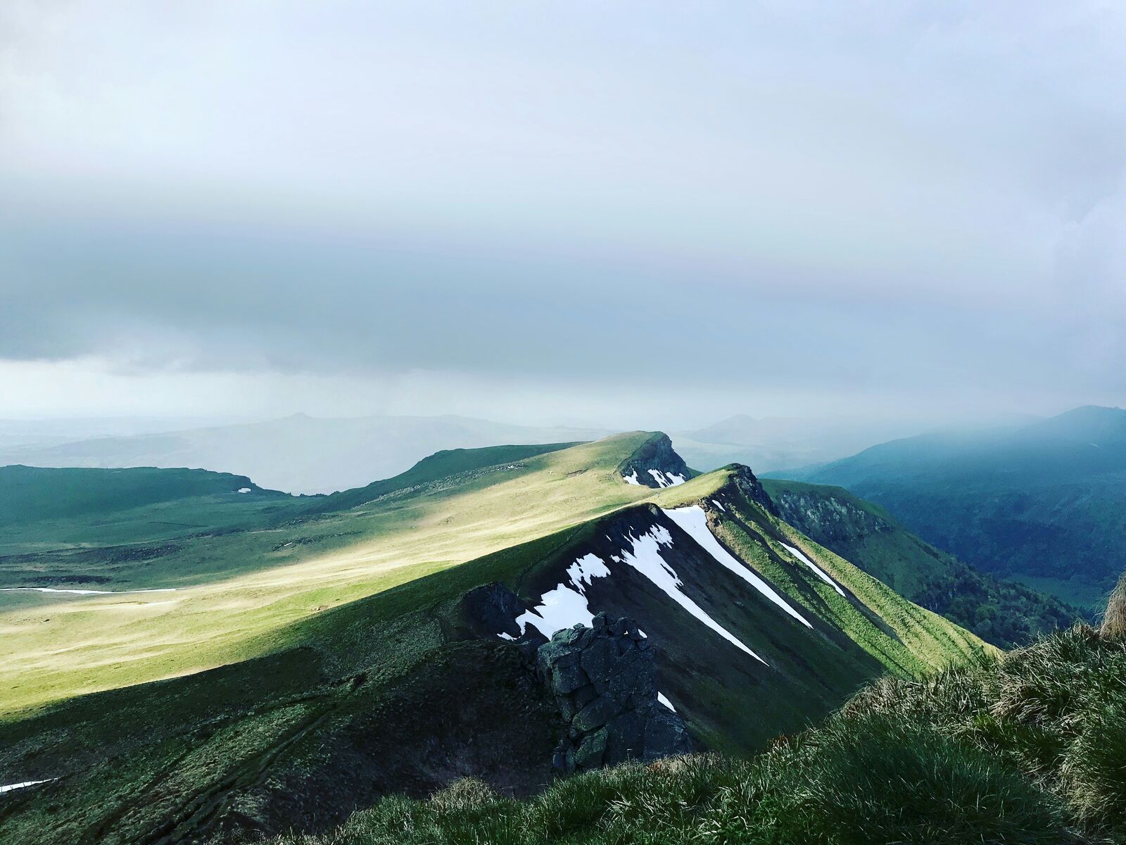
At first the hills looked fairly ordinary until we learned many of them were actually ancient volcanoes. After that it became impossible not to notice the distinct cone-shaped peaks around us.
The roads climbed steadily through open grasslands where cattle seemed to outnumber people. It felt much more rural than many of France's better-known driving destinations.
Weather conditions changed quickly throughout the day. One ridge offered clear views for dozens of kilometers, while the next disappeared into low clouds.
There weren't many major towns along the route, which helped keep the scenery uninterrupted. Most stops were small villages or viewpoints overlooking the surrounding volcanic landscape.
The Auvergne Volcanoes Route stood out because it didn't resemble the Alps or the coast. The terrain has its own personality, shaped by geology that is obvious even to people with no interest in volcanoes.
Best time to visit
The best time to explore the Auvergne Volcano Scenic Mountain Drive is typically during spring and summer months, when weather conditions are stable and visibility is high. However, autumn offers fewer crowds and more dramatic scenery.
Travel tips
- Watch for fog in valley sections
- Check snow conditions at higher peaks
- Use caution on winding mountain roads
Why visit
- Scenic landscapes unique to Auvergne
- Popular road trip destination in France
- Great for photography
- Varied terrain and driving conditions
Driving Interpretation Layer
What this route means
How long is this route?
The route is approximately 41.9 km long, with an elevation gain of 1029 m.
How difficult is the drive?
This route is classified as Moderate, with a maximum gradient of 7.4%.
What kind of terrain does it have?
This is a relatively mild scenic route with steady and predictable driving conditions.
What makes this route unique?
The route combines elevation variation (1029 m total gain) with changing landscapes shaped by natural geography and road conditions.
What type of driver is this route best suited for?
This route is suitable for confident drivers who are comfortable with occasional steep sections and mountain terrain.
Discovery Layer
More routes in France
About France →
Route des Grandes Alpes Alpine Scenic Road Trip
High alpine route crossing multiple mountain passes.
Provence Lavender Scenic Drive
Lavender fields and charming French villages.
Corsica Mountain Scenic Loop Drive
Dramatic mountain roads across Corsica.
Alsace Wine Route Scenic Drive
Vineyards, half-timbered villages and rolling hills.
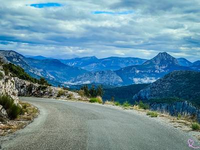
Verdon Gorge Canyon Scenic Drive
Dramatic canyon roads above turquoise waters.
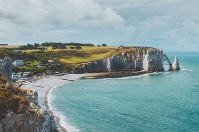
French Riviera Coastal Scenic Drive
Mediterranean coastline, beaches and seaside towns.
More similar scenic routes
Route des Grandes Alpes Alpine Scenic Road Trip
High alpine route crossing multiple mountain passes.
Provence Lavender Scenic Drive
Lavender fields and charming French villages.
Corsica Mountain Scenic Loop Drive
Dramatic mountain roads across Corsica.
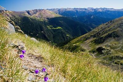
Pyrenees Alpine Scenic Drive
High mountain drive between Spain and France.
Alsace Wine Route Scenic Drive
Vineyards, half-timbered villages and rolling hills.
Verdon Gorge Canyon Scenic Drive
Dramatic canyon roads above turquoise waters.