
Route Identity
Northern Thailand Mountain Scenic Loop Drive
Thailand — Chiang Mai
Overview Layer
Overview
Embark on the scenic Northern Thailand Loop from Chiang Mai. This road trip offers a beautiful mix of cool mountain roads, ancient temples, and winding through cultural villages for a unique Thai adventure.
Weather
Tropical monsoon climate with distinct wet and dry seasons and significant rainfall variability affecting mountain regions.
Seasonal Driving Conditions
Hot and dry conditions with increasing temperatures before monsoon onset.
- increasing heat levels
- dry road surfaces
Monsoon season with heavy rainfall and reduced road traction in mountain areas.
- heavy monsoon rainfall
- reduced traction in mountain sections
Transition period with decreasing rainfall and improving road stability.
- gradual drying of roads
- improving visibility
Dry and cool conditions with stable visibility and road access.
- stable dry conditions
- good driving visibility
Road conditions
Mountain loop roads with steep gradients, tight curves, and variable pavement quality affected by rainfall and erosion.
Driving difficulty explained
Moderate difficulty due to steep mountain roads and seasonal rainfall impact.
Route Snapshot Layer
Route Snapshot
This is a scenic driving route in Chiang Mai, Thailand.
The route features moderate driving conditions.
It is classified as Hard and is best suited for general road trip travelers.
Points of Interest
Attractions along the route
- Wat Chedi Luang Monk Chat — 152 m from route (0.0 km from start)
- อนุสาวรีย์สามกษัตริย์ — 305 m from route (0.0 km from start)
- ดอยอินทนนท์, Doi Inthanon — 32 m from route (56.9 km from start)
- Cloud Forest — 208 m from route (56.9 km from start)
- Night Bazaar Pai — 240 m from route (309.7 km from start)
Places to eat
- 1 in Pai — 12 m from route (309.7 km from start)
- Betagro — 34 m from route (310.0 km from start)
Actual Driving Track (GPX-data)
Download GPXGPS Data Layer
Measured Driving Route
This route is analyzed directly from GPX track data. It features a total distance of 584.7 km, with an elevation gain of 5004 m.
Route Structure
| Type | Distance (km) | Elevation Gain (m) | Avg Gradient (%) |
|---|---|---|---|
| climb | 91.43 km | 3808 m | 4.3% |
| descent | 114.51 km | 0 m | -2.9% |
| flat | 378.74 km | 1196 m | 0.1% |
About this route
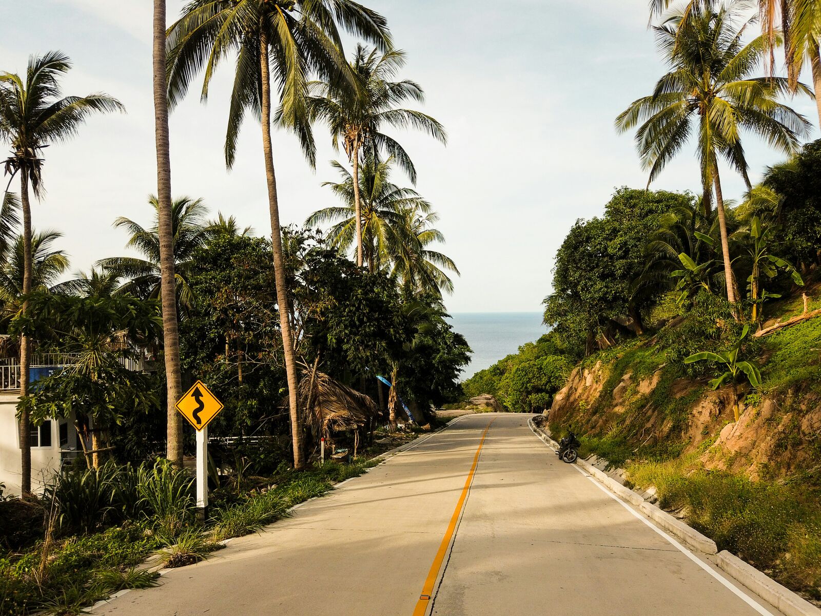
The Northern Thailand Mountain Scenic Loop Drive is one of the most scenic driving experiences in Thailand. Located in Chiang Mai, this route offers a unique combination of landscapes, road conditions and natural highlights.
Stretching over 584.7 km, this drive takes approximately 12 hours.
This route is especially popular among travelers looking for road trips.
Travel Experience
We left Chiang Mai fairly early, but it still felt warm and slightly sticky in the car almost immediately. The first part was just normal traffic and then slowly more open roads as we got out of the city.
At one stop near a temple on a hillside, there were already a few cars and scooters parked. We walked around for a bit, but didn’t stay long because it felt more like a quick stop than a place to fully explore.
There was a long section where the road kept climbing into the mountains and bending through small villages. We didn’t talk much, just occasionally pointing out roadside stalls or monkeys near the trees.
We stopped for food in a small place that didn’t really look like a tourist stop but still had simple meals ready pretty quickly. It felt calm, nothing rushed, just a break before continuing the loop.
By the end of the Northern Thailand Loop, it felt like a mix of short temple stops and long mountain stretches in between. The driving itself wasn’t difficult, but the constant changes between quiet roads, villages, and viewpoints made the day feel longer than the distance suggests.
Best time to visit
The best time to explore the Northern Thailand Mountain Scenic Loop Drive is typically during spring and summer months, when weather conditions are stable and visibility is high. However, autumn offers fewer crowds and more dramatic scenery.
Travel tips
- Avoid travel during peak monsoon rainfall
- Expect sharp curves and elevation changes
- Monitor landslide-prone sections during wet season
Why visit
- Scenic landscapes unique to Chiang Mai
- Popular road trip destination in Thailand
- Great for photography
- Varied terrain and driving conditions
Driving Interpretation Layer
What this route means
How long is this route?
The route is approximately 584.7 km long, with an elevation gain of 5004 m.
How difficult is the drive?
This route is classified as Hard, with a maximum gradient of 5.2%.
What kind of terrain does it have?
This is a high alpine mountain route with significant elevation changes and exposed terrain.
What makes this route unique?
The route combines elevation variation (5004 m total gain) with changing landscapes shaped by natural geography and road conditions.
What type of driver is this route best suited for?
This route is best suited for experienced drivers comfortable with steep gradients, narrow mountain roads, and changing weather conditions.
Discovery Layer
More routes in Thailand
About Thailand →More similar scenic routes
Mae Hong Son Loop Scenic Mountain Drive
Extended mountain loop through northern Thailand’s jungles, valleys, and remote highland towns

Route des Grandes Alpes Alpine Scenic Road Trip
High alpine route crossing multiple mountain passes.

Icefields Parkway Rocky Mountain Scenic Drive
One of the most scenic drives in the Canadian Rockies.

Blue Ridge Parkway Scenic Mountain Drive
Scenic mountain drive through the Appalachian Highlands.
Drakensberg Sani Pass Scenic Scenic Mountain Drive (Sani Pass → Lesotho entry)
Mountain drive along dramatic escarpments.
Great Alpine Scenic Mountain Drive
Mountain road crossing Australian Alps.