
Route Identity
Sea-to-Sky Highway Ultimate Coastal Mountain Scenic Drive – Vancouver to Whistler Experience
Canada — British Columbia
Overview Layer
Overview
The Sea-to-Sky Highway is one of the most scenic road trips in Canada, connecting Vancouver with Whistler through a dramatic transition from ocean coastline to towering coastal mountains. The route follows Howe Sound fjord, passes waterfalls, granite cliffs, and alpine viewpoints, making it one of the most iconic short scenic drives in North America.
Weather
Coastal temperate rainforest climate with high precipitation and strong seasonal variation in mountain zones.
Seasonal Driving Conditions
Cool and wet conditions with mountain snowmelt affecting visibility.
- snowmelt runoff in mountain areas
- variable road conditions
Mild temperatures with stable road conditions and high tourist activity.
- stable driving conditions
- high traffic volume
Cool temperatures with reduced precipitation and improved visibility.
- improved visibility
- reduced rainfall
Snow and ice conditions in higher elevations affecting traction.
- snow-covered mountain sections
- possible chain requirements
Road conditions
Paved coastal highway with steep mountain sections and exposure to fog and precipitation.
Driving difficulty explained
Low to moderate difficulty with seasonal mountain driving considerations.
Route Snapshot Layer
Route Snapshot
This is a scenic driving route in British Columbia, Canada.
The route features moderate driving conditions.
It is classified as Moderate and is best suited for general road trip travelers.
Points of Interest
Scenic viewpoints
- Lowden’s Lookout — 130 m from route (19.9 km from start)
- Reflection Loop Viewpoint — 88 m from route (53.5 km from start)
- Eagle View Lookout — 46 m from route (53.6 km from start)
- Arbutus Point — 56 m from route (53.8 km from start)
- Tunnel Point — 82 m from route (56.0 km from start)
Attractions along the route
- Miniature Railway — 117 m from route (17.4 km from start)
Places to eat
- Indian Delicacy — 7 m from route (15.1 km from start)
Actual Driving Track (GPX-data)
Download GPXGPS Data Layer
Measured Driving Route
This route is analyzed directly from GPX track data. It features a total distance of 146.6 km, with an elevation gain of 1992 m.
Route Structure
| Type | Distance (km) | Elevation Gain (m) | Avg Gradient (%) |
|---|---|---|---|
| flat | 103.11 km | 996 m | 0.1% |
| climb | 28.71 km | 927 m | 3.1% |
| descent | 14.8 km | 70 m | -2.5% |
About this route
The Sea-to-Sky Highway Ultimate Coastal Mountain Scenic Drive – Vancouver to Whistler Experience is one of the most scenic driving experiences in Canada. Located in British Columbia, this route offers a unique combination of landscapes, road conditions and natural highlights.
Stretching over 146.6 km, this drive takes approximately 3 hours.
This route is especially popular among travelers looking for road trips.
Travel Experience
We left Vancouver and within minutes the city gave way to open water views, with the highway running directly alongside the fjord.
At several viewpoints we stopped more often than planned because each turn revealed a slightly different angle of mountains dropping into the sea.
There were stretches where waterfalls appeared right next to the road, and people would pull over just to stand in the spray for a moment.
As the drive moved inland, the scenery shifted quickly from coastal waters to dense forests and then to steep alpine slopes.
By the time we reached Whistler, the journey felt like a compressed version of British Columbia itself — ocean, forest, and mountains all connected by a single road.
Best time to visit
The best time to explore the Sea-to-Sky Highway Ultimate Coastal Mountain Scenic Drive – Vancouver to Whistler Experience is typically during spring and summer months, when weather conditions are stable and visibility is high. However, autumn offers fewer crowds and more dramatic scenery.
Travel tips
- Expect heavy traffic in summer
- Check winter tire requirements in colder months
- Watch for fog in coastal sections
Why visit
- Scenic landscapes unique to British Columbia
- Popular road trip destination in Canada
- Great for photography
- Varied terrain and driving conditions
Driving Interpretation Layer
What this route means
How long is this route?
The route is approximately 146.6 km long, with an elevation gain of 1992 m.
How difficult is the drive?
This route is classified as Moderate, with a maximum gradient of 5.1%.
What kind of terrain does it have?
This is a relatively mild scenic route with steady and predictable driving conditions.
What makes this route unique?
The route combines elevation variation (1992 m total gain) with changing landscapes shaped by natural geography and road conditions.
What type of driver is this route best suited for?
This route is suitable for most drivers, including casual travelers looking for a scenic and relaxed drive.
Discovery Layer
More routes in Canada
About Canada →
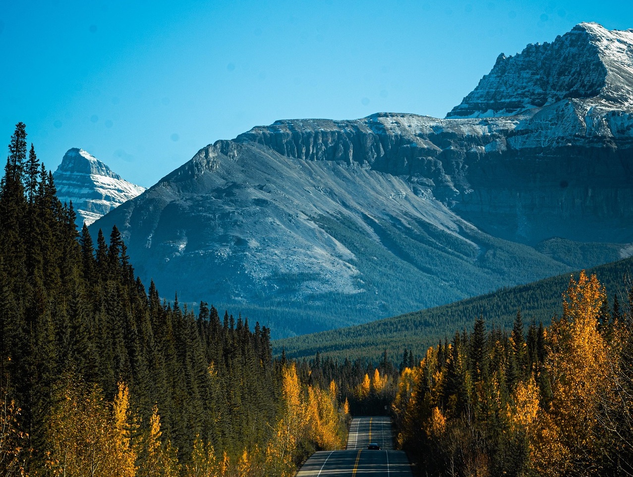
Icefields Parkway Rocky Mountain Scenic Drive
One of the most scenic drives in the Canadian Rockies.
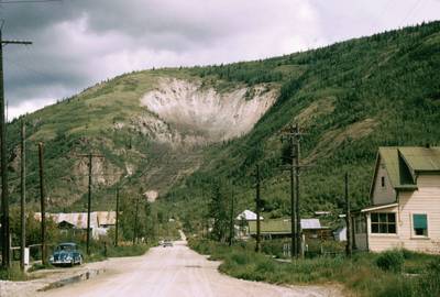
Yukon Wilderness Northern Scenic Drive
Wild northern landscapes and forests.
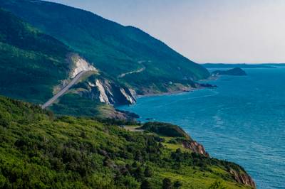
Cabot Trail
Iconic Atlantic coastal loop with cliffs, forests and sweeping ocean views
More similar scenic routes
Icefields Parkway Rocky Mountain Scenic Drive
One of the most scenic drives in the Canadian Rockies.
Cabot Trail
Iconic Atlantic coastal loop with cliffs, forests and sweeping ocean views

Route des Grandes Alpes Alpine Scenic Road Trip
High alpine route crossing multiple mountain passes.

Blue Ridge Parkway Scenic Mountain Drive
Scenic mountain drive through the Appalachian Highlands.

Pacific Coast Highway Coastal Scenic Drive
Iconic coastal drive along California's Pacific coastline.
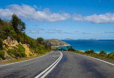
Great Ocean Scenic Coastal Drive
Coastal road famous for Twelve Apostles rock formations.