
Route Identity
Cabot Trail
Canada — Nova Scotia
Overview Layer
Overview
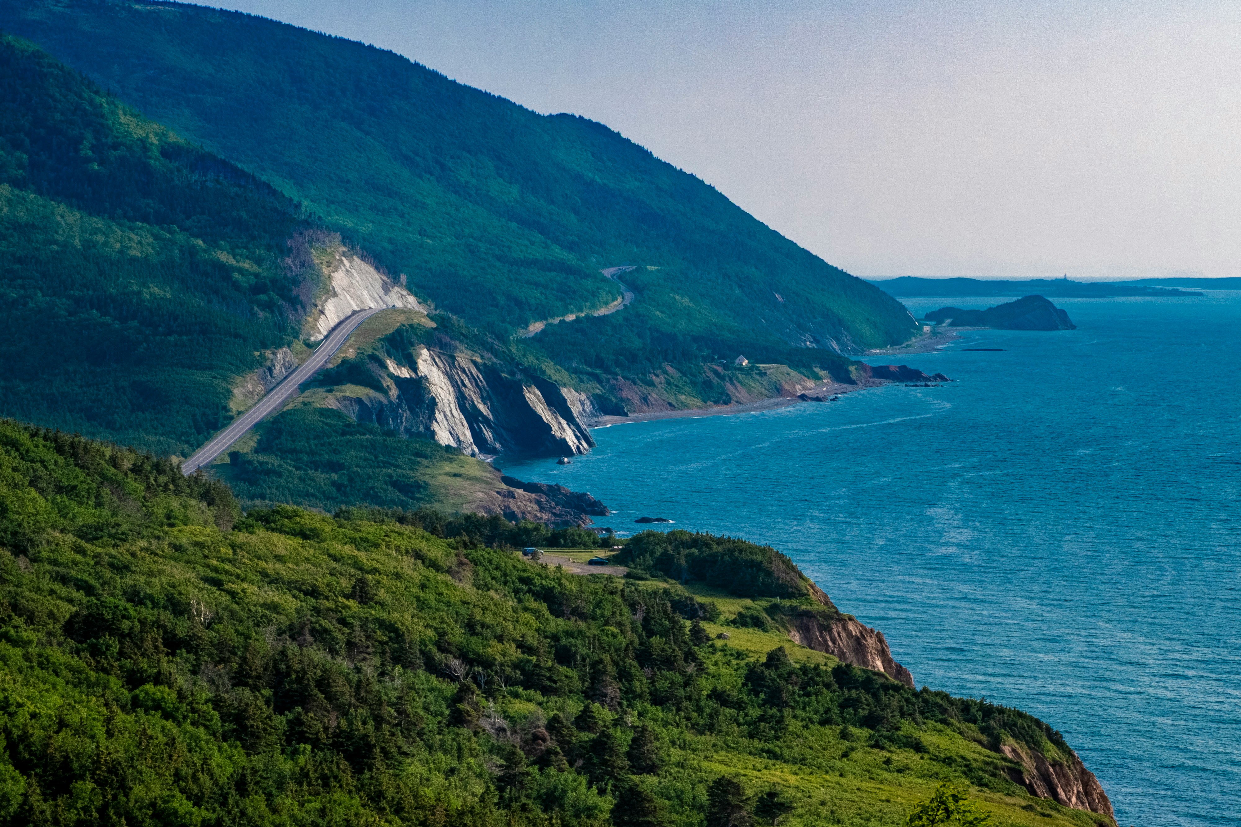
The Cabot Trail is one of the most famous scenic drives in Canada, looping around Cape Breton Island in Nova Scotia. Renowned for its dramatic Atlantic coastline, forested highlands, and panoramic cliffside viewpoints, the route passes through Cape Breton Highlands National Park and offers some of the best coastal scenery in North America. It is widely considered one of Canada's premier road trips.
Weather
Humid continental climate influenced by coastal conditions, with moderate summers and cold, snowy winters.
Seasonal Driving Conditions
Cool temperatures with variable weather and partial reopening of services.
- variable weather conditions
- partial service availability
Mild temperatures with stable road conditions and full accessibility.
- stable driving conditions
- full route accessibility
Cool temperatures with peak foliage conditions and increased visitor traffic.
- leaf coloration period
- increased traffic density
Snow and ice conditions with limited accessibility in some sections.
- snow-covered sections
- reduced accessibility in high elevations
Road conditions
Paved coastal mountain road with elevation changes and potential fog in coastal sections.
Driving difficulty explained
Low to moderate difficulty due to paved roads with elevation changes and seasonal weather variability.
Route Snapshot Layer
Route Snapshot
This is a scenic driving route in Nova Scotia, Canada.
The route features moderate driving conditions.
It is classified as Extreme and is best suited for general road trip travelers.
Points of Interest
Scenic viewpoints
- Best Viewpoint of Cabot Trail — 27 m from route (100.9 km from start)
- Lakies Head — 18 m from route (185.1 km from start)
Attractions along the route
- Lone Shieling — 25 m from route (134.9 km from start)
- Groovy Goat — 16 m from route (192.3 km from start)
Actual Driving Track (GPX-data)
Download GPXGPS Data Layer
Measured Driving Route
This route is analyzed directly from GPX track data. It features a total distance of 293.6 km, with an elevation gain of 4286 m.
Route Structure
| Type | Distance (km) | Elevation Gain (m) | Avg Gradient (%) |
|---|---|---|---|
| flat | 231.11 km | 2514 m | 0% |
| climb | 29.1 km | 1618 m | 5% |
| descent | 33.34 km | 154 m | -4.3% |
About this route
The Cabot Trail is one of the most scenic driving experiences in Canada. Located in Nova Scotia, this route offers a unique combination of landscapes, road conditions and natural highlights.
Stretching over 293.6 km, this drive takes approximately 6 hours.
This route is especially popular among travelers looking for road trips.
Travel Experience
We started the loop under cloudy skies and honestly expected the weather to limit the views, but the coastline kept appearing in unexpected places throughout the day.
At one lookout there were already several cars parked, yet everyone seemed unusually quiet. Most people were just standing near the railing watching the ocean far below.
The road kept switching between dense forest and open coastal sections. Just when it felt like we had left the sea behind, another viewpoint would reveal a completely different stretch of shoreline.
We stopped in a small fishing village for lunch and ended up walking around the harbor afterward. It felt less like a tourist stop and more like a working community that happened to sit on a famous route.
By the end of the Cabot Trail, I remembered the constant contrast between ocean and highlands. The route never committed fully to either landscape, which made the drive feel more varied than its distance would suggest.
Best time to visit
The best time to explore the Cabot Trail is typically during spring and summer months, when weather conditions are stable and visibility is high. However, autumn offers fewer crowds and more dramatic scenery.
Travel tips
- Expect fog in coastal areas
- Plan for increased traffic in autumn
- Check seasonal service availability
Why visit
- Scenic landscapes unique to Nova Scotia
- Popular road trip destination in Canada
- Great for photography
- Varied terrain and driving conditions
Driving Interpretation Layer
What this route means
How long is this route?
The route is approximately 293.6 km long, with an elevation gain of 4286 m.
How difficult is the drive?
This route is classified as Extreme, with a maximum gradient of 11.1%.
What kind of terrain does it have?
This route features hilly terrain with several steep driving sections.
What makes this route unique?
The route combines elevation variation (4286 m total gain) with changing landscapes shaped by natural geography and road conditions.
What type of driver is this route best suited for?
This route is best suited for experienced drivers comfortable with steep gradients, narrow mountain roads, and changing weather conditions.
Discovery Layer
More routes in Canada
About Canada →
Icefields Parkway Rocky Mountain Scenic Drive
One of the most scenic drives in the Canadian Rockies.
Yukon Wilderness Northern Scenic Drive
Wild northern landscapes and forests.
Sea-to-Sky Highway Ultimate Coastal Mountain Scenic Drive – Vancouver to Whistler Experience
Stunning coastal highway linking Vancouver with Whistler through fjords, waterfalls and mountain peaks
More similar scenic routes
Wild Atlantic Way Scenic Coastal Drive (North Section)
Cliffs, ocean views and rugged Irish coastline.
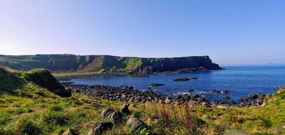
Causeway Coastal Route
Dramatic coastal road linking cliffs, beaches and the Giant’s Causeway
Sea-to-Sky Highway Ultimate Coastal Mountain Scenic Drive – Vancouver to Whistler Experience
Stunning coastal highway linking Vancouver with Whistler through fjords, waterfalls and mountain peaks
Icefields Parkway Rocky Mountain Scenic Drive
One of the most scenic drives in the Canadian Rockies.

Pacific Coast Highway Coastal Scenic Drive
Iconic coastal drive along California's Pacific coastline.
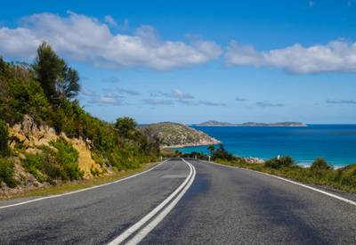
Great Ocean Scenic Coastal Drive
Coastal road famous for Twelve Apostles rock formations.