
Route Identity
Andes Scenic Mountain Drive
Argentina — Mendoza
Overview Layer
Overview
Embark on the Andes Scenic Route in Argentina's Mendoza region. This moderately difficult road trip blends the grandeur of the Andes mountain backdrop with the charming charm of the regional wine country.
Weather
High-altitude Andean climate with strong temperature variation, dry air, and seasonal snow in elevated regions.
Seasonal Driving Conditions
Mild conditions with melting snow at higher elevations and variable mountain weather.
- snowmelt affects mountain runoff
- variable weather in high passes
Warm conditions at lower elevations with possible afternoon storms in high Andes zones.
- dry road conditions at mid elevations
- afternoon convection storms in mountains
Cooling temperatures with clearer skies and reduced precipitation in many sections.
- stable visibility conditions improve driving
- cooling temperatures reduce heat stress
Cold conditions with snow accumulation and potential pass restrictions in high altitude areas.
- snow-covered passes possible
- ice formation on high altitude roads
Road conditions
Mountain roads with steep gradients and altitude-sensitive sections. Snow and ice may restrict access in winter.
Driving difficulty explained
High difficulty due to altitude, steep gradients, and seasonal snow closures.
Route Snapshot Layer
Route Snapshot
This is a scenic driving route in Mendoza, Argentina.
The route features moderate driving conditions.
It is classified as Extreme and is best suited for general road trip travelers.
Points of Interest
Attractions along the route
- Portones del Parque General San Martín — 30 m from route (9.4 km from start)
- Arquitectura — 38 m from route (10.5 km from start)
- Cerro siete colores — 30 m from route (90.5 km from start)
- Puente Del Inca — 137 m from route (171.5 km from start)
Scenic viewpoints
- Mirador Aconcagua — 103 m from route (175.8 km from start)
- Paso de Uspallata — 60 m from route (195.5 km from start)
Places to eat
- Don Alonso — 31 m from route (9.1 km from start)
- Parrilla El Angel — 22 m from route (100.6 km from start)
Interesting stops
- Hostel Suri — 18 m from route (100.3 km from start)
Interesting stops
- Camping Aconcagua — 14 m from route (171.4 km from start)
Actual Driving Track (GPX-data)
Download GPXGPS Data Layer
Measured Driving Route
This route is analyzed directly from GPX track data. It features a total distance of 205.9 km, with an elevation gain of 7069 m.
Route Structure
| Type | Distance (km) | Elevation Gain (m) | Avg Gradient (%) |
|---|---|---|---|
| flat | 71.36 km | 1142 m | 0% |
| climb | 91.3 km | 5457 m | 5.2% |
| descent | 43.26 km | 469 m | -6.1% |
About this route
The Andes Scenic Mountain Drive is one of the most scenic driving experiences in Argentina. Located in Mendoza, this route offers a unique combination of landscapes, road conditions and natural highlights.
Stretching over 205.9 km, this drive takes approximately 5 hours.
This route is especially popular among travelers looking for road trips.
Travel Experience
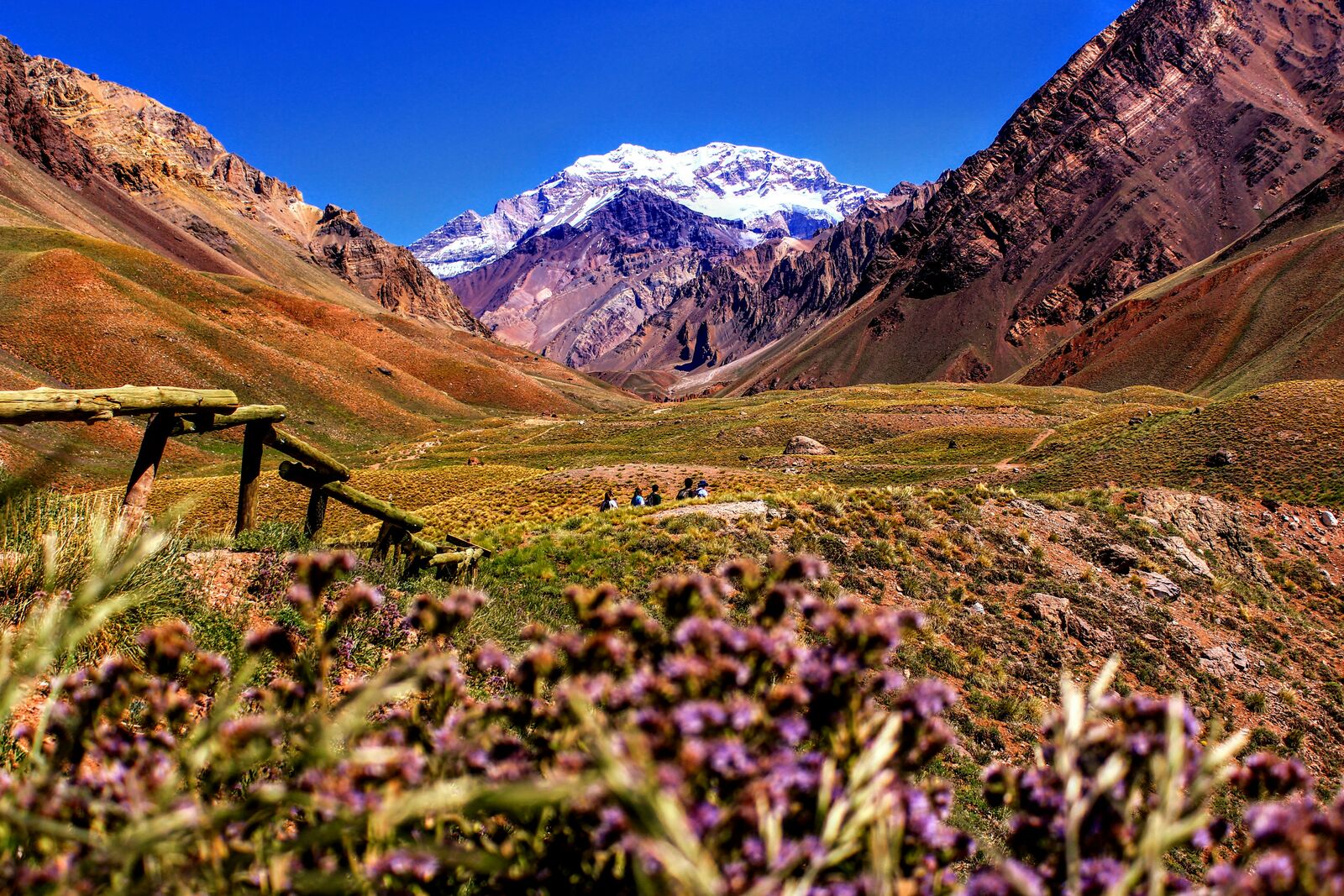
The drive started with these incredible views of the Andes mountains, massive and stark against the blue sky. We spent a lot of time just pulling over at any spot that offered a glimpse of the valley below. It really felt like you were driving through a postcard.
The winding roads were fun, navigating through the wine country landscape. Everything was punctuated by the deep green of the vines and the terracotta colors of the buildings. It was a pretty leisurely pace, making it easy to just absorb the sights and smells.
We drove through a small village at a high altitude, and it felt like time slowed down. People walking the streets seemed completely unhurried, giving us a chance to just observe life going on. We just sat in a café and watched the people—a definite pause from the driving.
Toward the end, the mountains looked even more dramatic as we approached the pass. The altitude really started to show; the air was noticeably thinner. We kept driving slowly through the last leg, really appreciating the mountain backdrop while we navigated the final curves.
Best time to visit
The best time to explore the Andes Scenic Mountain Drive is typically during spring and summer months, when weather conditions are stable and visibility is high. However, autumn offers fewer crowds and more dramatic scenery.
Travel tips
- Monitor altitude sickness risk on long ascents
- Check pass closures before departure
- Carry emergency supplies for remote segments
Why visit
- Scenic landscapes unique to Mendoza
- Popular road trip destination in Argentina
- Great for photography
- Varied terrain and driving conditions
Driving Interpretation Layer
What this route means
How long is this route?
The route is approximately 205.9 km long, with an elevation gain of 7069 m.
How difficult is the drive?
This route is classified as Extreme, with a maximum gradient of 12.4%.
What kind of terrain does it have?
This is a high alpine mountain route with significant elevation changes and exposed terrain.
What makes this route unique?
The route combines elevation variation (7069 m total gain) with changing landscapes shaped by natural geography and road conditions.
What type of driver is this route best suited for?
This route is best suited for experienced drivers comfortable with steep gradients, narrow mountain roads, and changing weather conditions.
Discovery Layer
More routes in Argentina
About Argentina →More similar scenic routes
Ruta 40 Epic Long Highway Road Trip
Legendary long highway crossing entire Argentina.
Patagonia Scenic Loop Road
Remote southern landscapes with glaciers.
Peru Andes High Altitude Scenic Highway Drive
High-altitude road through the Andes.
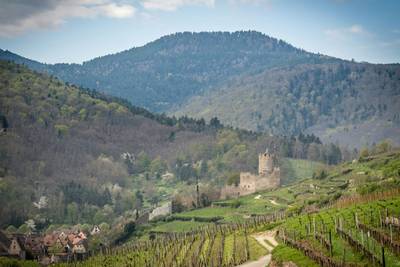
Alsace Wine Route Scenic Drive
Vineyards, half-timbered villages and rolling hills.
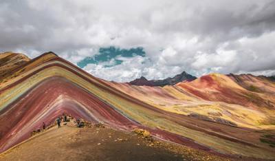
Cusco to Sacred Valley Scenic Drive – Epic Andes Road Trip Through Peru’s Inca Heartland
High-altitude scenic loop connecting Cusco, the Sacred Valley, Inca ruins and traditional Andean villages