Route Identity
Meteora Rock Formations Scenic Drive
Greece — Thessaly
Overview Layer
Overview
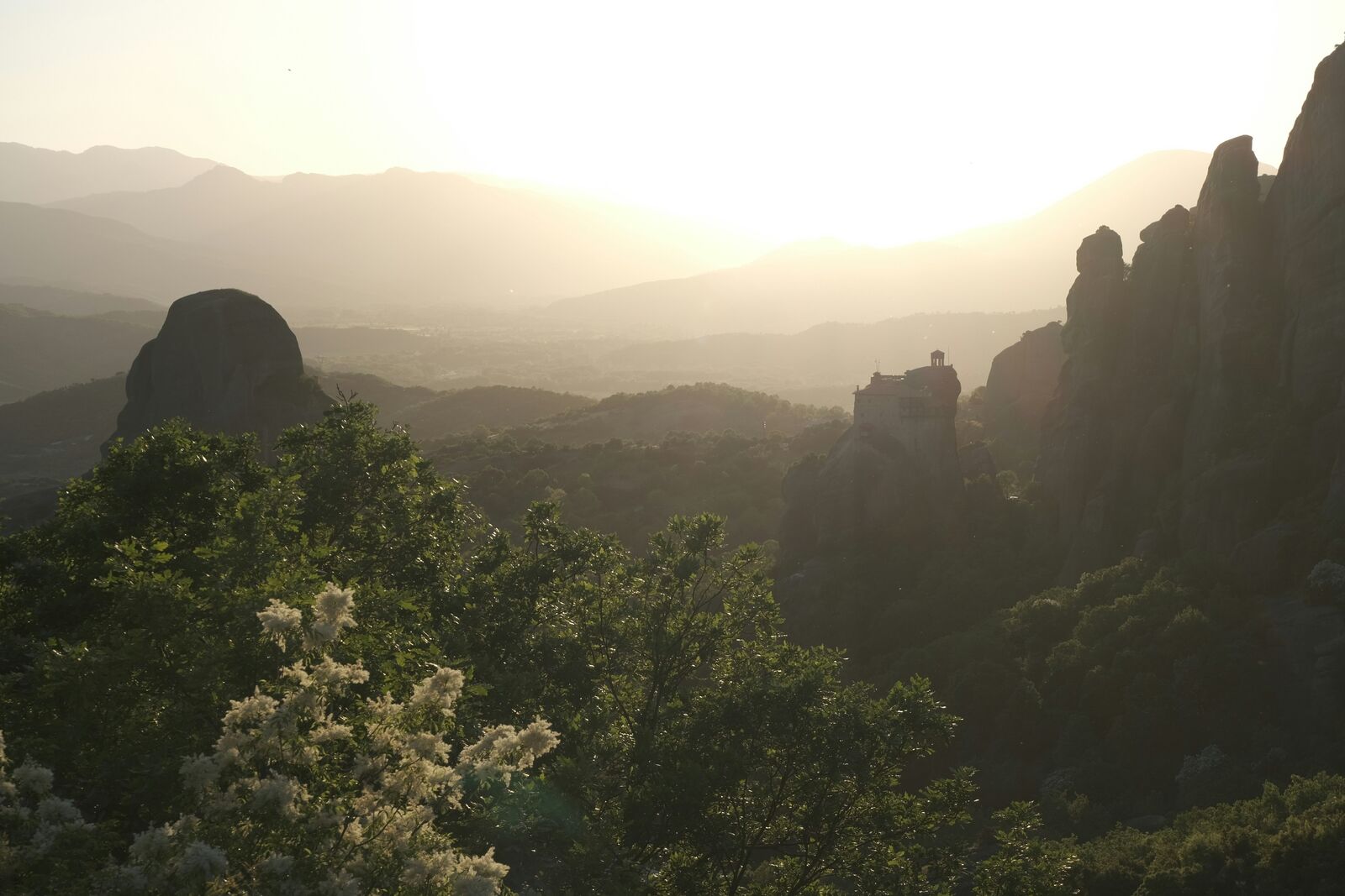
The Meteora Scenic Drive in Greece passes through surreal rock pillars topped with historic monasteries rising above the Thessaly plains. It is a visually striking route where dramatic geology and cultural landmarks blend into a unique driving experience.
Weather
Continental Mediterranean climate with hot dry summers, cooler winters, and seasonal rainfall variability.
Seasonal Driving Conditions
Mild temperatures with moderate rainfall and clear visibility around rock formations.
- moderate rainfall events
- stable visibility conditions
Hot and dry conditions with stable road access and high surface temperatures.
- dry asphalt conditions
- high surface heat on exposed roads
Cooling temperatures with occasional rainfall and improved driving comfort.
- stable driving weather
- cooling temperatures
Cold conditions with possible snow at higher elevations and reduced traction.
- snow in higher areas
- reduced traction in shaded roads
Road conditions
Mountain and valley roads with steep climbs, switchbacks, and exposure to heat in summer.
Driving difficulty explained
Moderate difficulty due to steep elevation changes and heat exposure in summer.
Route Snapshot Layer
Route Snapshot
This is a scenic driving route in Thessaly, Greece.
The route features moderate driving conditions.
It is classified as Easy and is best suited for general road trip travelers.
Points of Interest
Places to eat
- Meteora — 13 m from route (0.4 km from start)
- Αρχονταρικι — 9 m from route (0.6 km from start)
- Santa Lucia — 7 m from route (1.1 km from start)
- Ουζερί Νταρντάνα — 29 m from route (53.2 km from start)
- I'll Gusto — 15 m from route (53.9 km from start)
Cafés and stops
- Ερωφιλη — 14 m from route (0.8 km from start)
- Amano (Υψηλάντου) — 13 m from route (54.1 km from start)
Interesting stops
- Hotel Farnissi — 26 m from route (1.2 km from start)
Interesting stops
- Καλημέρα — 32 m from route (53.5 km from start)
Actual Driving Track (GPX-data)
Download GPXGPS Data Layer
Measured Driving Route
This route is analyzed directly from GPX track data. It features a total distance of 88.5 km, with an elevation gain of 445 m.
Route Structure
| Type | Distance (km) | Elevation Gain (m) | Avg Gradient (%) |
|---|---|---|---|
| flat | 88.53 km | 445 m | -0.1% |
About this route
The Meteora Rock Formations Scenic Drive is one of the most scenic driving experiences in Greece. Located in Thessaly, this route offers a unique combination of landscapes, road conditions and natural highlights.
Stretching over 88.5 km, this drive takes approximately 2 hours.
This route is especially popular among travelers looking for road trips.
Travel Experience
We arrived from a normal highway section and didn’t really see the rock formations properly until they were suddenly just there in the distance. It felt a bit abrupt, like the landscape changed without warning.
At one viewpoint there were already a few cars parked and people taking photos of the monasteries from across the valley. We stopped briefly, but it was more crowded than expected, so we didn’t stay long.
There were stretches where the road kept weaving between tall rock pillars and small towns at their base. We didn’t talk much, just slowed down occasionally when the monasteries appeared suddenly above the trees.
We stopped for food in a small place that felt very straightforward, nothing tourist-heavy about it even though the scenery outside clearly was. Service was simple and quick enough that we were back on the road without much delay.
By the end of the Meteora Scenic Drive, it felt less like a planned set of stops and more like passing through a landscape where the monasteries just keep appearing between cliffs and turns. You never really get one stable view of them, only brief encounters from different angles.
Best time to visit
The best time to explore the Meteora Rock Formations Scenic Drive is typically during spring and summer months, when weather conditions are stable and visibility is high. However, autumn offers fewer crowds and more dramatic scenery.
Travel tips
- Avoid midday driving in peak summer heat
- Use low gear on steep descents
- Check road conditions after winter snow
Why visit
- Scenic landscapes unique to Thessaly
- Popular road trip destination in Greece
- Great for photography
- Varied terrain and driving conditions
Driving Interpretation Layer
What this route means
How long is this route?
The route is approximately 88.5 km long, with an elevation gain of 445 m.
How difficult is the drive?
This route is classified as Easy, with a maximum gradient of 0.5%.
What kind of terrain does it have?
This is a relatively mild scenic route with steady and predictable driving conditions.
What makes this route unique?
The route combines elevation variation (445 m total gain) with changing landscapes shaped by natural geography and road conditions.
What type of driver is this route best suited for?
This route is suitable for most drivers, including casual travelers looking for a scenic and relaxed drive.
Discovery Layer