
Route Identity
Cape Town to Cape Point Ultimate Scenic Coastal Drive – Cape of Good Hope Experience
South Africa — Western Cape
Overview Layer
Overview
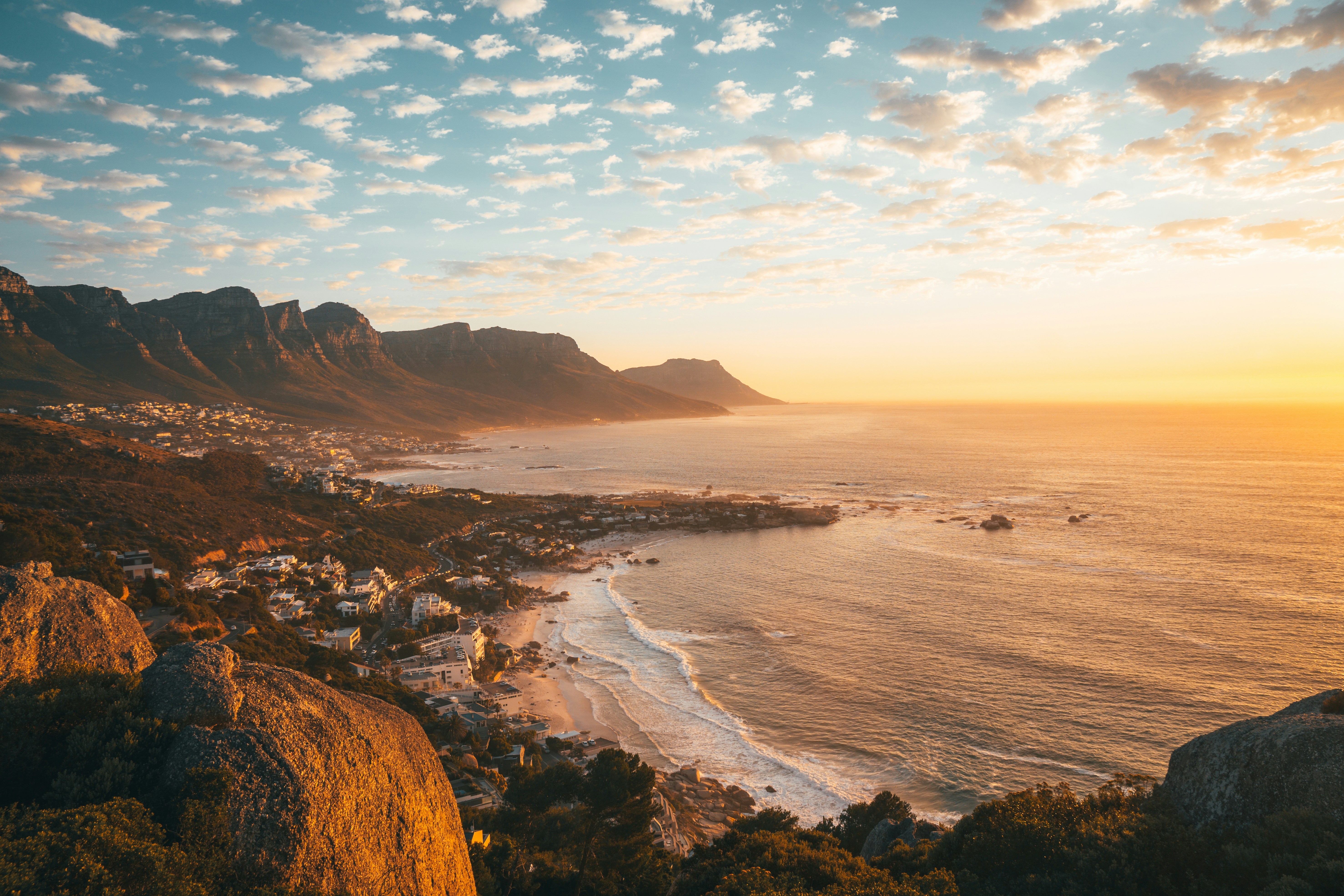
The Cape Town to Cape Point Drive is one of the most scenic coastal routes in South Africa, following the Cape Peninsula through Table Mountain National Park all the way to Cape Point and the Cape of Good Hope. The route features winding ocean roads, rugged cliffs, beaches, and wildlife encounters, making it one of the most iconic drives in Africa. It offers constant Atlantic Ocean views and dramatic landscapes shaped by wind and sea.
Weather
Mediterranean climate with wet winters and dry summers, influenced by strong coastal wind systems.
Seasonal Driving Conditions
Mild temperatures with moderate wind conditions along coastal areas.
- moderate wind conditions
- stable coastal visibility
Warm and dry conditions with strong coastal winds (Cape Doctor).
- dry road conditions
- strong coastal wind exposure
Stable temperatures with reduced wind intensity and clearer visibility.
- reduced wind intensity
- stable driving conditions
Cool and wet conditions with frequent frontal rainfall systems.
- frequent rainfall
- wet road surfaces
Road conditions
Paved coastal roads with steep sections and exposure to wind; generally stable infrastructure.
Driving difficulty explained
Low difficulty due to paved coastal roads and short route length.
Route Snapshot Layer
Route Snapshot
This is a scenic driving route in Western Cape, South Africa.
The route features moderate driving conditions.
It is classified as Moderate and is best suited for general road trip travelers.
Points of Interest
Attractions along the route
- Fresh Fish — 13 m from route (2.0 km from start)
- Skellies Pool — 65 m from route (5.3 km from start)
- Shark Explorers Dive Shop — 33 m from route (11.5 km from start)
Scenic viewpoints
- Whale Watch — 69 m from route (7.0 km from start)
- Smits Winkel Bay View site — 46 m from route (43.7 km from start)
Cafés and stops
- Chalk & Cheese — 19 m from route (4.7 km from start)
- The Lighthouse Cafe — 37 m from route (11.7 km from start)
Places to eat
- Olympia Cafe — 28 m from route (1.6 km from start)
Actual Driving Track (GPX-data)
Download GPXGPS Data Layer
Measured Driving Route
This route is analyzed directly from GPX track data. It features a total distance of 104.0 km, with an elevation gain of 1271 m.
Route Structure
| Type | Distance (km) | Elevation Gain (m) | Avg Gradient (%) |
|---|---|---|---|
| flat | 74.1 km | 766 m | 0.2% |
| descent | 17.17 km | 43 m | -3.6% |
| climb | 12.71 km | 462 m | 3.1% |
About this route
The Cape Town to Cape Point Ultimate Scenic Coastal Drive – Cape of Good Hope Experience is one of the most scenic driving experiences in South Africa. Located in Western Cape, this route offers a unique combination of landscapes, road conditions and natural highlights.
Stretching over 104.0 km, this drive takes approximately 3 hours.
This route is especially popular among travelers looking for road trips.
Travel Experience
We left Cape Town and almost immediately the city gave way to open coastal roads with the ocean appearing on both sides of the peninsula.
At several viewpoints along the way we stopped frequently because the combination of cliffs and crashing waves felt different every time the light changed.
There were sections where we drove through stretches of protected nature, and it wasn’t unusual to see wildlife close to the road, moving slowly across the landscape.
As we approached Cape Point, the road became more winding and the sense of isolation increased, even though we weren’t far from the city anymore.
By the end of the Cape Point drive, what stayed in memory most was the feeling of standing at the edge of two oceans, where the land simply stops and the Atlantic takes over everything.
Best time to visit
The best time to explore the Cape Town to Cape Point Ultimate Scenic Coastal Drive – Cape of Good Hope Experience is typically during spring and summer months, when weather conditions are stable and visibility is high. However, autumn offers fewer crowds and more dramatic scenery.
Travel tips
- Expect strong winds on exposed coastal sections
- Monitor rainfall during winter months
- Traffic increases during peak tourist periods
Why visit
- Scenic landscapes unique to Western Cape
- Popular road trip destination in South Africa
- Great for photography
- Varied terrain and driving conditions
Driving Interpretation Layer
What this route means
How long is this route?
The route is approximately 104.0 km long, with an elevation gain of 1271 m.
How difficult is the drive?
This route is classified as Moderate, with a maximum gradient of 5.1%.
What kind of terrain does it have?
This is a relatively mild scenic route with steady and predictable driving conditions.
What makes this route unique?
The route combines elevation variation (1271 m total gain) with changing landscapes shaped by natural geography and road conditions.
What type of driver is this route best suited for?
This route is suitable for most drivers, including casual travelers looking for a scenic and relaxed drive.
Discovery Layer
More routes in South Africa
About South Africa →
Garden Route Scenic Coastal Drive
Coastal drive through forests, lagoons and beaches.
Extended Garden Route Scenic Drive
Extended coastal drive with beaches and forests.
Drakensberg Sani Pass Scenic Scenic Mountain Drive (Sani Pass → Lesotho entry)
Mountain drive along dramatic escarpments.
More similar scenic routes
Extended Garden Route Scenic Drive
Extended coastal drive with beaches and forests.
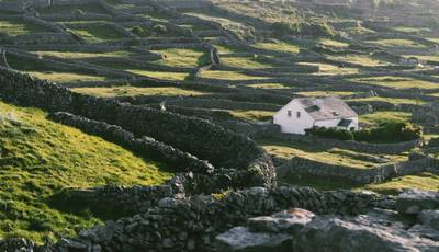
Ring of Beara
Quiet Atlantic peninsula loop with rugged coastline, mountain passes and remote villages

Pacific Coast Highway Coastal Scenic Drive
Iconic coastal drive along California's Pacific coastline.
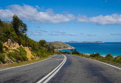
Great Ocean Scenic Coastal Drive
Coastal road famous for Twelve Apostles rock formations.
Garden Route Scenic Coastal Drive
Coastal drive through forests, lagoons and beaches.
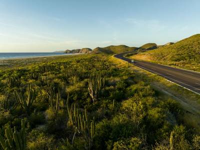
Baja California Desert Coastal Scenic Road Trip
Desert coastline road along Pacific Ocean.