Route Identity
Sichuan–Tibet Highway Epic High-Altitude Scenic Drive – Chengdu to Lhasa Ultimate Road Trip Experience
China — Sichuan / Tibet Autonomous Region
Overview Layer
Overview
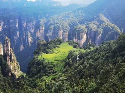
The Sichuan–Tibet Highway is one of the most extreme and legendary road trips in the world, connecting Chengdu with Lhasa across the eastern edge of the Tibetan Plateau. The route crosses deep river gorges, snow-covered passes above 5,000 meters, remote Tibetan settlements, and vast high-altitude landscapes. Known for its challenging driving conditions and breathtaking scenery, it is a true expedition-style journey through one of the most remote regions on Earth.
Weather
Extreme high-altitude plateau and mountain climate with rapid weather changes. Conditions vary sharply with elevation, from humid river valleys in Sichuan to cold, dry, oxygen-thin environments across the Tibetan Plateau.
Seasonal Driving Conditions
Spring brings unstable mountain weather, snow still present on high passes, and limited predictability in higher elevation sections.
- snow lingering on high mountain passes above 4,000–5,000 meters
- rising river levels in deep gorge sections due to snowmelt
Summer offers the most accessible conditions with open passes, milder temperatures, and better visibility across the Tibetan Plateau.
- most stable access across high-altitude passes
- clear views of Himalayan and Hengduan mountain ranges
Autumn provides crisp air, stable weather windows, and clear long-distance visibility across high-altitude landscapes.
- exceptionally clear skies over the Tibetan Plateau
- stable driving conditions with reduced precipitation
Winter brings severe cold, frequent road closures at high passes, and significantly reduced accessibility along remote sections.
- frequent closures of high mountain sections
- extreme cold and ice on exposed plateau roads
Road conditions
A mix of paved highways, partially worn asphalt, and long remote mountain sections. Frequent landslide risk zones, steep gradients, and high-altitude passes above 5,000 meters require careful planning and adaptation to changing road conditions.
Driving difficulty explained
Very high difficulty due to extreme altitude, long distances between services, and rapidly changing mountain weather conditions.
Route Snapshot Layer
Route Snapshot
This is a scenic driving route in Sichuan / Tibet Autonomous Region, China.
The route features moderate driving conditions.
It is classified as Extreme and is best suited for general road trip travelers.
Points of Interest
Scenic viewpoints
- 熊宗卡观景台 — 16 m from route (2731.9 km from start)
- 姊妹湖 — 51 m from route (2897.2 km from start)
- 南迦巴瓦观景台 — 20 m from route (3693.1 km from start)
Attractions along the route
- 1930风情街 — 104 m from route (169.2 km from start)
- 东方饭店 — 132 m from route (169.2 km from start)
- 原聚兴诚银行祠堂街办事处暨国画家张采芹画室 — 80 m from route (2131.7 km from start)
- Big Panda Screen — 329 m from route (2195.1 km from start)
Places to eat
- 熊记川菜馆 — 38 m from route (2347.2 km from start)
Actual Driving Track (GPX-data)
Download GPXGPS Data Layer
Measured Driving Route
This route is analyzed directly from GPX track data. It features a total distance of 4882.9 km, with an elevation gain of 30140 m.
Route Structure
| Type | Distance (km) | Elevation Gain (m) | Avg Gradient (%) |
|---|---|---|---|
| flat | 4019.39 km | 9920 m | 0.1% |
| climb | 456.63 km | 20219 m | 5% |
| descent | 406.91 km | 0 m | -5.3% |
About this route
The Sichuan–Tibet Highway Epic High-Altitude Scenic Drive – Chengdu to Lhasa Ultimate Road Trip Experience is one of the most scenic driving experiences in China. Located in Sichuan / Tibet Autonomous Region, this route offers a unique combination of landscapes, road conditions and natural highlights.
Stretching over 4882.9 km, this drive takes approximately 98 hours.
This route is especially popular among travelers looking for road trips.
Travel Experience
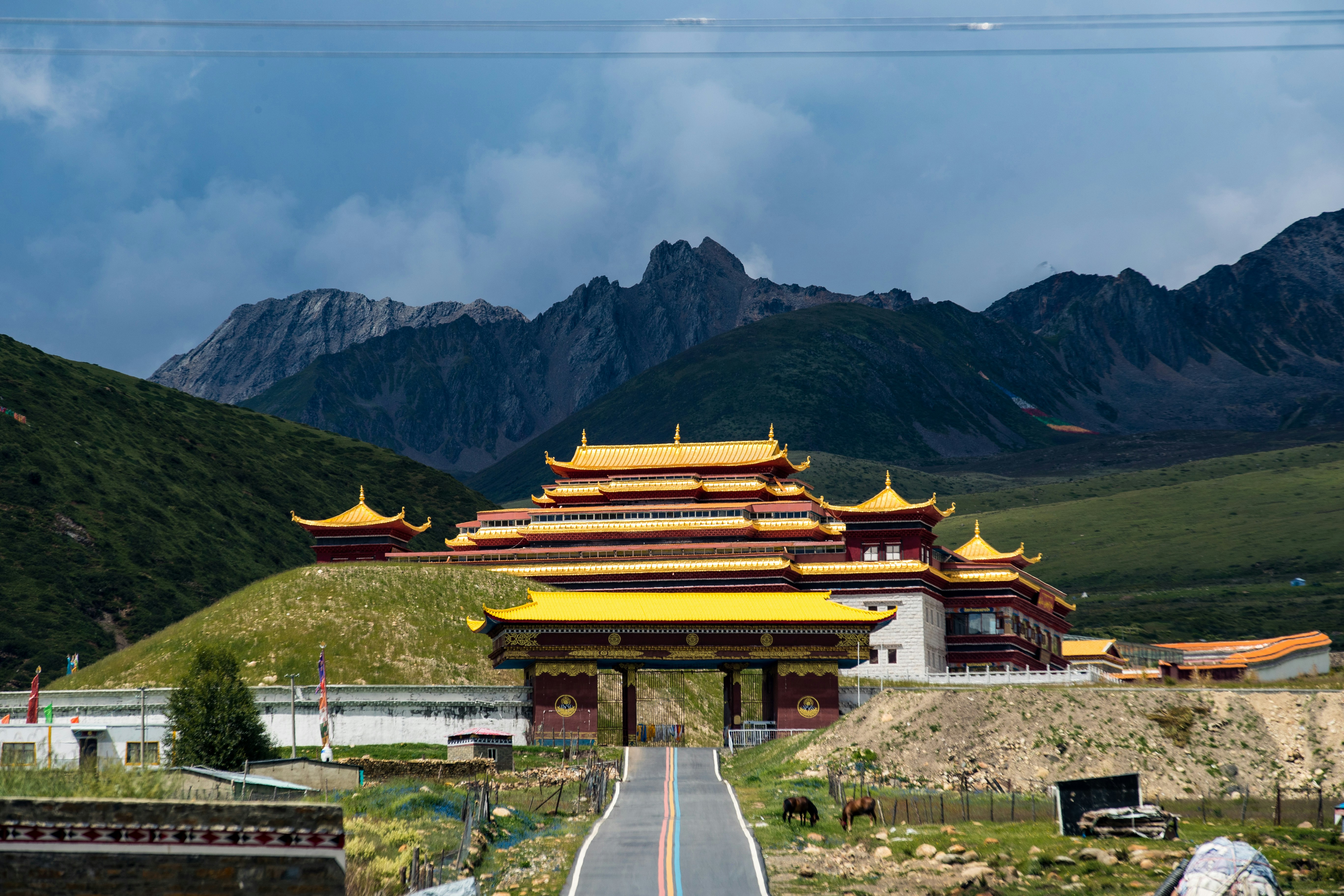
The early sections of the route feel relatively normal, but the landscape begins to change quickly as the road leaves Sichuan’s populated valleys.
As elevation increases, the air becomes noticeably thinner and the scenery shifts into vast, open mountain terrain with long distances between settlements.
High passes appear suddenly, often covered in snow even outside of winter, with prayer flags marking some of the highest points along the route.
There are long stretches where the road follows deep river valleys, carved between steep cliffs that make the scale of the landscape feel overwhelming.
By the time the route approaches Tibet, the journey feels less like a road trip and more like a slow transition into a completely different environment shaped by altitude, isolation, and vast open space.
Best time to visit
The best time to explore the Sichuan–Tibet Highway Epic High-Altitude Scenic Drive – Chengdu to Lhasa Ultimate Road Trip Experience is typically during spring and summer months, when weather conditions are stable and visibility is high. However, autumn offers fewer crowds and more dramatic scenery.
Travel tips
- Acclimatize gradually before entering high-altitude sections above 3,000 meters
- Expect limited fuel, accommodation, and medical services in remote stretches
- Carry contingency supplies due to long distances between settlements
- Monitor weather closely as conditions can change rapidly at high passes
Why visit
- Scenic landscapes unique to Sichuan / Tibet Autonomous Region
- Popular road trip destination in China
- Great for photography
- Varied terrain and driving conditions
Driving Interpretation Layer
What this route means
How long is this route?
The route is approximately 4882.9 km long, with an elevation gain of 30140 m.
How difficult is the drive?
This route is classified as Extreme, with a maximum gradient of 15.7%.
What kind of terrain does it have?
This is a high alpine mountain route with significant elevation changes and exposed terrain.
What makes this route unique?
The route combines elevation variation (30140 m total gain) with changing landscapes shaped by natural geography and road conditions.
What type of driver is this route best suited for?
This route is best suited for experienced drivers comfortable with steep gradients, narrow mountain roads, and changing weather conditions.
Discovery Layer