
Route Identity
Dingle Peninsula Drive
Ireland — County Kerry
Overview Layer
Overview
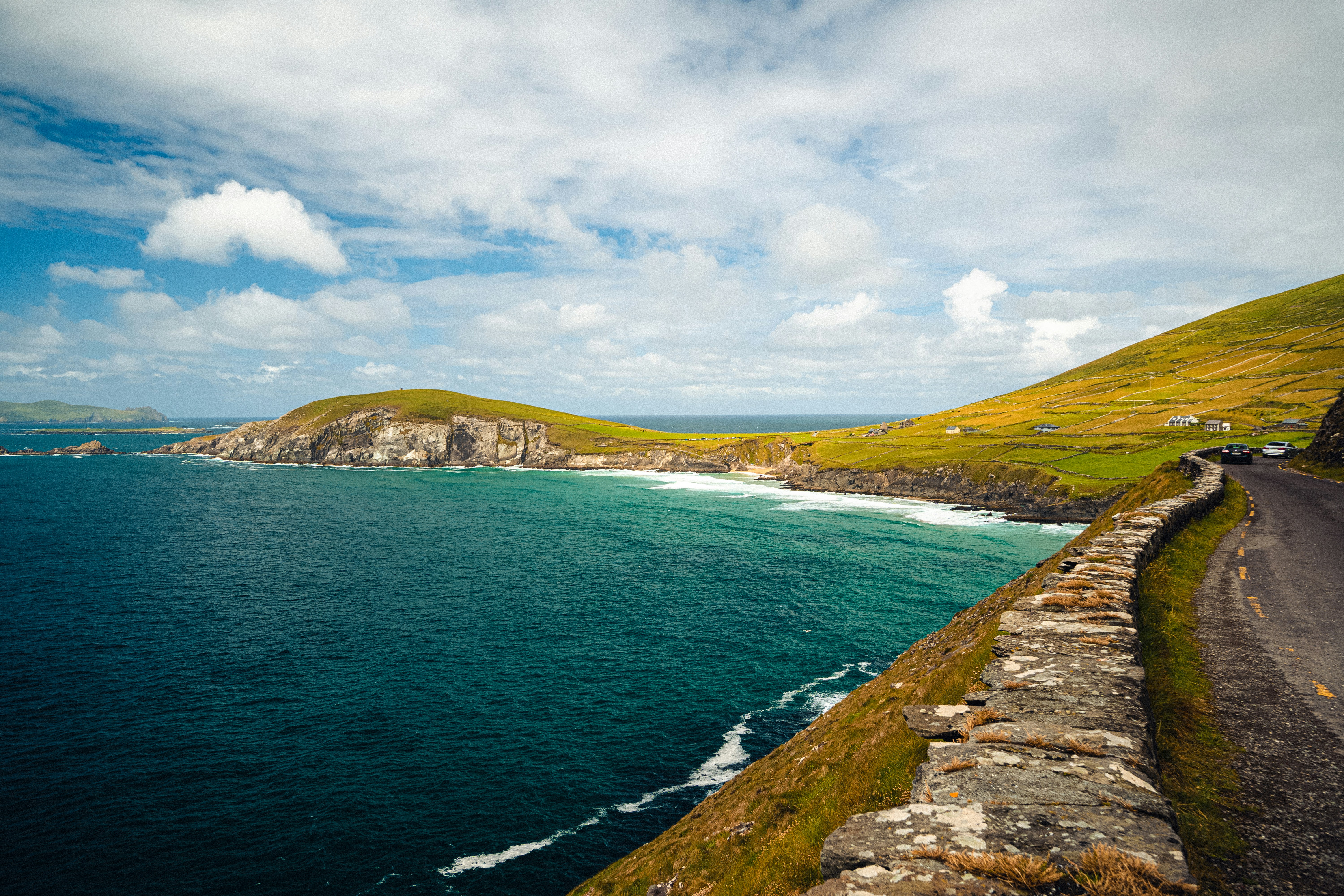
The Dingle Peninsula Drive is one of Ireland’s most scenic coastal routes, circling the rugged Dingle Peninsula in County Kerry. As part of the Wild Atlantic Way, the route features dramatic cliffs, sandy beaches, mountain passes, and traditional Gaelic-speaking villages. It is widely regarded as one of the most beautiful drives in Ireland, combining coastal scenery with cultural heritage.
Weather
Oceanic maritime climate with frequent rainfall, strong winds, and limited temperature extremes throughout the year.
Seasonal Driving Conditions
Mild temperatures with frequent rainfall and strong coastal wind exposure.
- frequent light rain events
- moderate wind along exposed coastline
Cool and relatively stable maritime conditions with longer daylight hours.
- more stable driving conditions
- reduced storm frequency
Increasing precipitation and stronger Atlantic storm influence.
- increasing Atlantic storm systems
- wet road surfaces
Wet and windy conditions with reduced daylight and frequent storms.
- strong wind exposure
- reduced visibility during heavy rain
Road conditions
Narrow paved coastal roads with exposure to wind and rain, and occasional reduced visibility in storms.
Driving difficulty explained
Low to moderate difficulty mainly due to weather exposure and narrow coastal roads.
Route Snapshot Layer
Route Snapshot
This is a scenic driving route in County Kerry, Ireland.
The route features moderate driving conditions.
It is classified as Easy and is best suited for general road trip travelers.
Points of Interest
Attractions along the route
- Statue of Our Lady — 48 m from route (36.4 km from start)
- Dingle Marina Dive Centre — 133 m from route (59.0 km from start)
- Tralee Equestrian Centre — 73 m from route (170.8 km from start)
Places to eat
- Il Pomo D'oro — 18 m from route (0.3 km from start)
- Tír na Rí — 16 m from route (58.1 km from start)
- Harrington’s Restaurant — 15 m from route (58.7 km from start)
Cafés and stops
- Loosely Goosey Cafe — 12 m from route (2.8 km from start)
- Moe's Cafe — 8 m from route (148.5 km from start)
- Blow-In Coffee — 32 m from route (148.6 km from start)
Actual Driving Track (GPX-data)
Download GPXAbout this route
The Dingle Peninsula Drive is one of the most scenic driving experiences in Ireland. Located in County Kerry, this route offers a unique combination of landscapes, road conditions and natural highlights.
Stretching over 176.1 km, this drive takes approximately 4 hours.
This route is especially popular among travelers looking for road trips.
Travel Experience
We started the loop in light rain, which made the coastline feel more dramatic than expected right from the beginning.
At one beach stop there were a few other cars, but most people were just standing quietly looking at the waves rather than taking photos.
There were stretches where the road climbed into hills and then suddenly dropped back toward the ocean, with views changing much faster than we could process.
We stopped in a small village where the pace felt noticeably slower than anywhere else on the route. Even a short coffee break turned into a longer pause just because nothing felt rushed.
By the end of the Dingle Peninsula Drive, it felt like a mix of weather, sea, and green hills that kept repeating in different combinations. The coastline never really settled into one single mood.
Best time to visit
The best time to explore the Dingle Peninsula Drive is typically during spring and summer months, when weather conditions are stable and visibility is high. However, autumn offers fewer crowds and more dramatic scenery.
Travel tips
- Check Atlantic wind forecasts before coastal driving
- Expect rapid weather changes even in summer
- Drive cautiously on narrow cliffside segments
Why visit
- Scenic landscapes unique to County Kerry
- Popular road trip destination in Ireland
- Great for photography
- Varied terrain and driving conditions
Driving Interpretation Layer
What this route means
How long is this route?
The route is approximately 176.1 km long, with an elevation gain of 0 m.
How difficult is the drive?
This route is classified as Easy, with a maximum gradient of 0.0%.
What kind of terrain does it have?
This is a relatively mild scenic route with steady and predictable driving conditions.
What makes this route unique?
The route combines elevation variation (0 m total gain) with changing landscapes shaped by natural geography and road conditions.
What type of driver is this route best suited for?
This route is suitable for most drivers, including casual travelers looking for a scenic and relaxed drive.
Discovery Layer
More routes in Ireland
About Ireland →
Wild Atlantic Way Scenic Coastal Drive (North Section)
Cliffs, ocean views and rugged Irish coastline.
Ring of Kerry Scenic Loop Drive
Classic Irish scenic loop with mountains and lakes.
Ring of Beara
Quiet Atlantic peninsula loop with rugged coastline, mountain passes and remote villages
More similar scenic routes
Wild Atlantic Way Scenic Coastal Drive (North Section)
Cliffs, ocean views and rugged Irish coastline.
Ring of Beara
Quiet Atlantic peninsula loop with rugged coastline, mountain passes and remote villages

Pacific Coast Highway Coastal Scenic Drive
Iconic coastal drive along California's Pacific coastline.
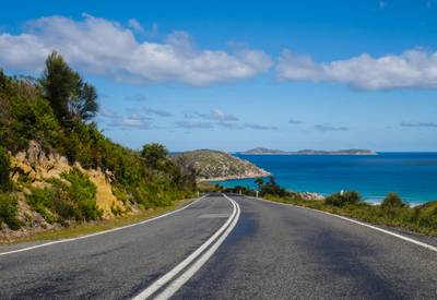
Great Ocean Scenic Coastal Drive
Coastal road famous for Twelve Apostles rock formations.
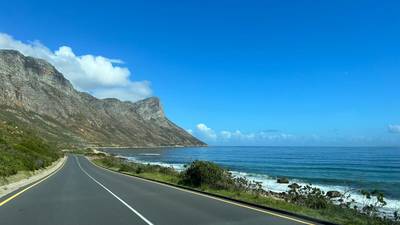
Garden Route Scenic Coastal Drive
Coastal drive through forests, lagoons and beaches.
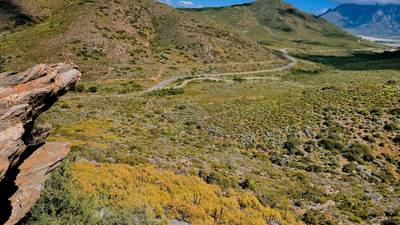
Extended Garden Route Scenic Drive
Extended coastal drive with beaches and forests.